Transport Functions
Rail
Road
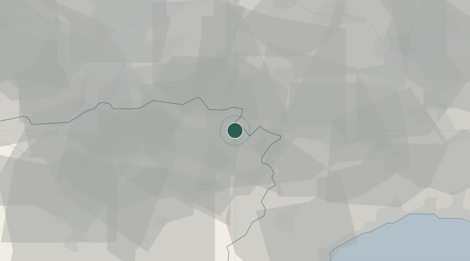
Location
Nearby Logistics Neighbours
Cities
- 1Barbaresco2 km
- 2Canove6 km
- 3San Rocco Seno D'Elvio8 km
- 4Costigliole d'Asti9 km
- 5Cossano Belbo11 km
Ports
- 1Savona56 km
- 2Rada Di Vado59 km
- 3Genova75 km
- 4Imperia95 km
- 5San Remo105 km
Airports
Trade Zones
- 1ZFU LAriane128 km
- 2Magazzini Generali Con Chiasso140 km
- 3Aosta Valley150 km
- 4ZFU Grenoble197 km
- 5Geneva Freeport, La Praille, Geneva223 km
DatabookThe Record of Consolidated Knowledge
Italy beyond logistics?