UN/LOCODE hub · Italy
ITELO
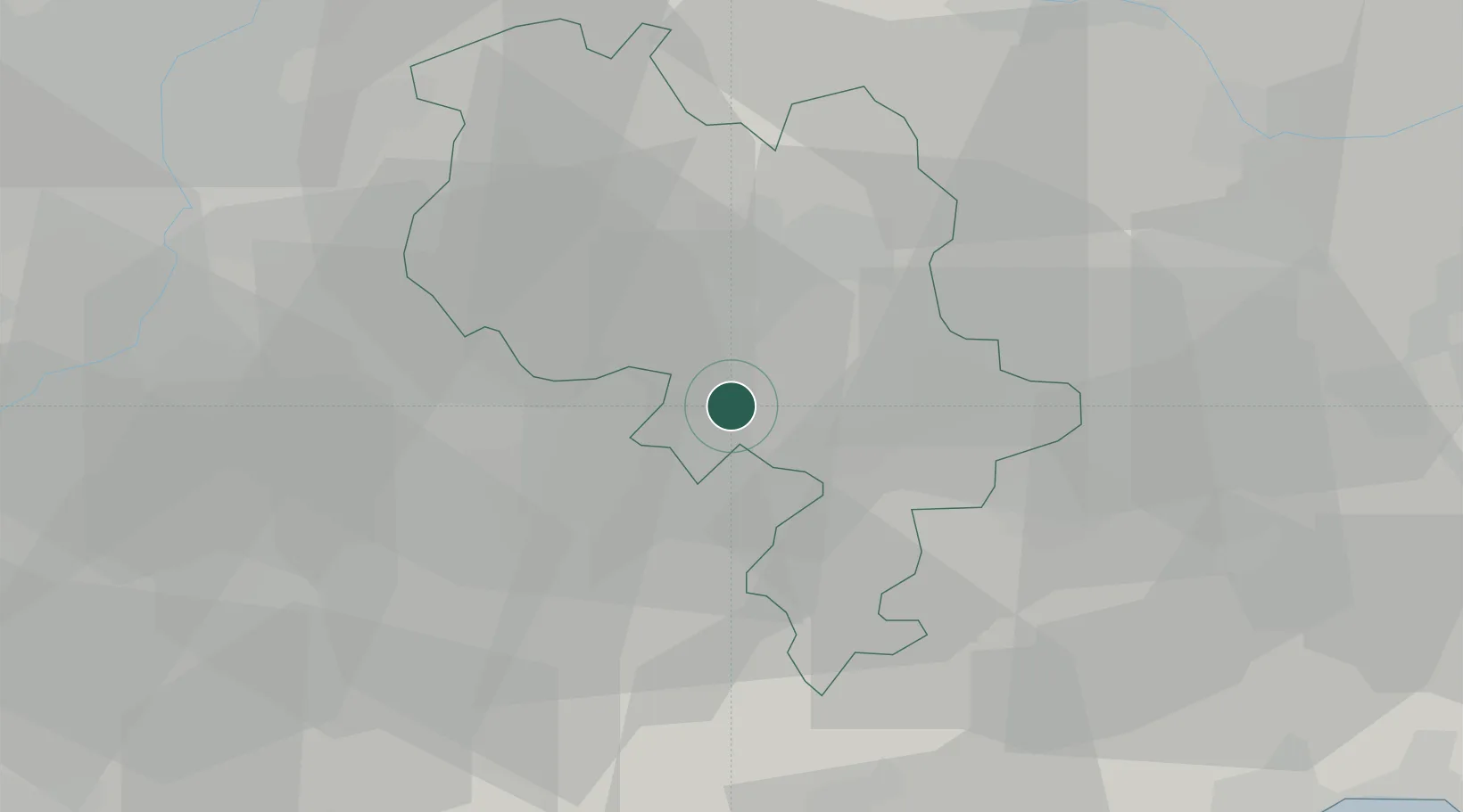
Costigliole d'Asti
44.7833°, 8.1833°
1,771
Population
2
Transport functions
Transport Functions
Road
Multimodal
Hub Profile
Place type
District seat
Region
Piedmont
Population
1,771
Time zone
Europe/Rome
Elevation
242 m
Location
Nearby Logistics Neighbours
Cities
- 1Canove7 km
- 2Neive9 km
- 3San Marzano Oliveto9 km
- 4Barbaresco11 km
- 5Cossano Belbo13 km
Ports
- 1Savona58 km
- 2Rada Di Vado62 km
- 3Genova73 km
- 4Imperia101 km
- 5Chiavari - Lavagna105 km
Airports
Trade Zones
- 1Magazzini Generali Con Chiasso132 km
- 2ZFU LAriane136 km
- 3Aosta Valley150 km
- 4ZFU Grenoble202 km
- 5Geneva Freeport, La Praille, Geneva224 km
DatabookThe Record of Consolidated Knowledge
Italy beyond logistics?