Transport Functions
Port
Road
Hub Profile
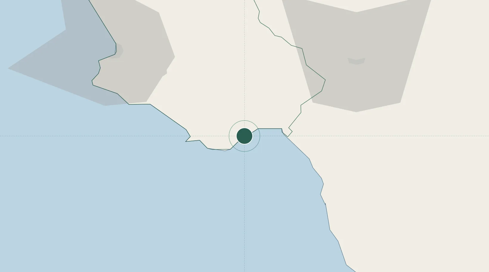
Place type
Populated place
Region
Campania
Population
1,124
Time zone
Europe/Rome
Elevation
3 m
Location
Nearby Logistics Neighbours
Cities
- 1Marina di Camerota11 km
- 2Sapri13 km
- 3Palinuro17 km
- 4Maratea21 km
- 5Marina di Pisciotta22 km
Ports
- 1Salerno93 km
- 2Corigliano Calabro99 km
- 3Castellammare Di Stabia112 km
- 4Torre Annunziata117 km
- 5Torre Del Greco125 km
Airports
DatabookThe Record of Consolidated Knowledge
Italy beyond logistics?