UN/LOCODE hub · Italy
ITMIT
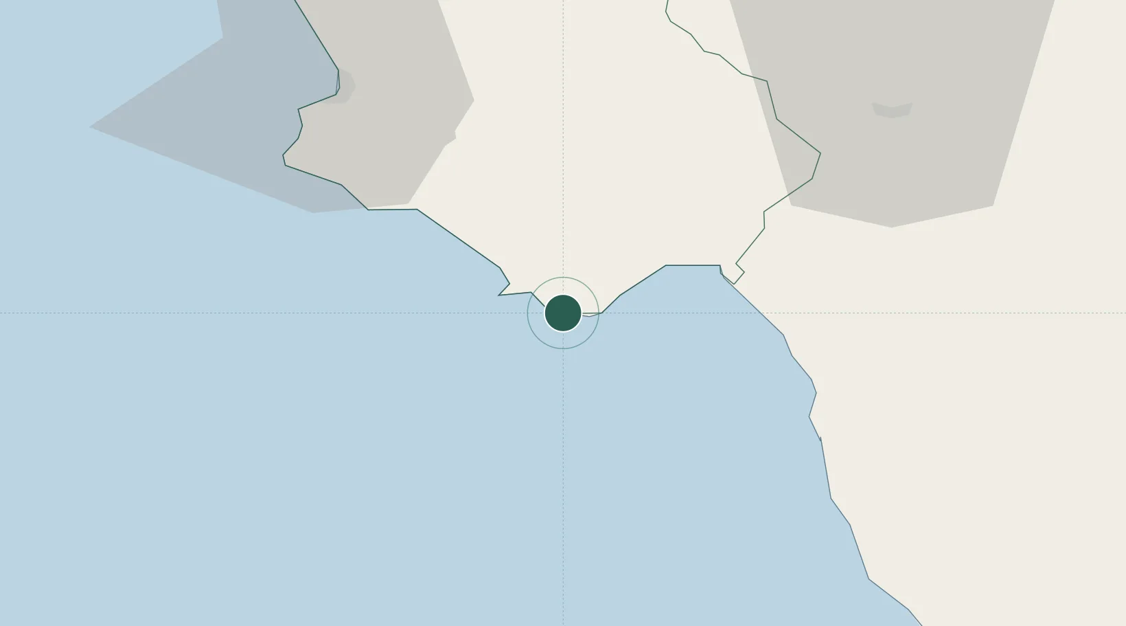
Marina di Camerota
40.0000°, 15.3667°
2,674
Population
2
Transport functions
Transport Functions
Port
Road
Hub Profile
Place type
Populated place
Region
Campania
Population
2,674
Time zone
Europe/Rome
Elevation
42 m
Location
Nearby Logistics Neighbours
Cities
- 1Palinuro8 km
- 2Scario11 km
- 3Marina di Pisciotta16 km
- 4Sapri24 km
- 5Maratea30 km
Ports
- 1Salerno91 km
- 2Corigliano Calabro106 km
- 3Castellammare Di Stabia108 km
- 4Torre Annunziata114 km
- 5Torre Del Greco122 km
Airports
DatabookThe Record of Consolidated Knowledge
Italy beyond logistics?