Transport Functions
Port
Road
Hub Profile
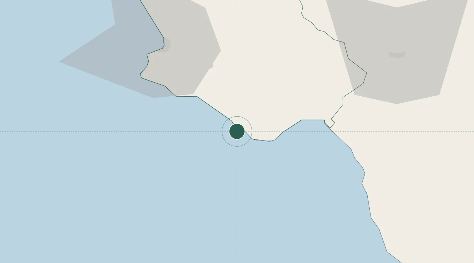
Place type
Populated place
Region
Campania
Population
1,054
Time zone
Europe/Rome
Elevation
53 m
Location
Nearby Logistics Neighbours
Cities
- 1Marina di Camerota8 km
- 2Marina di Pisciotta9 km
- 3Scario17 km
- 4Acciaroli28 km
- 5Sapri30 km
Ports
- 1Salerno84 km
- 2Castellammare Di Stabia101 km
- 3Torre Annunziata106 km
- 4Corigliano Calabro114 km
- 5Torre Del Greco114 km
Airports
DatabookThe Record of Consolidated Knowledge
Italy beyond logistics?