UN/LOCODE hub · Italy
ITMO4
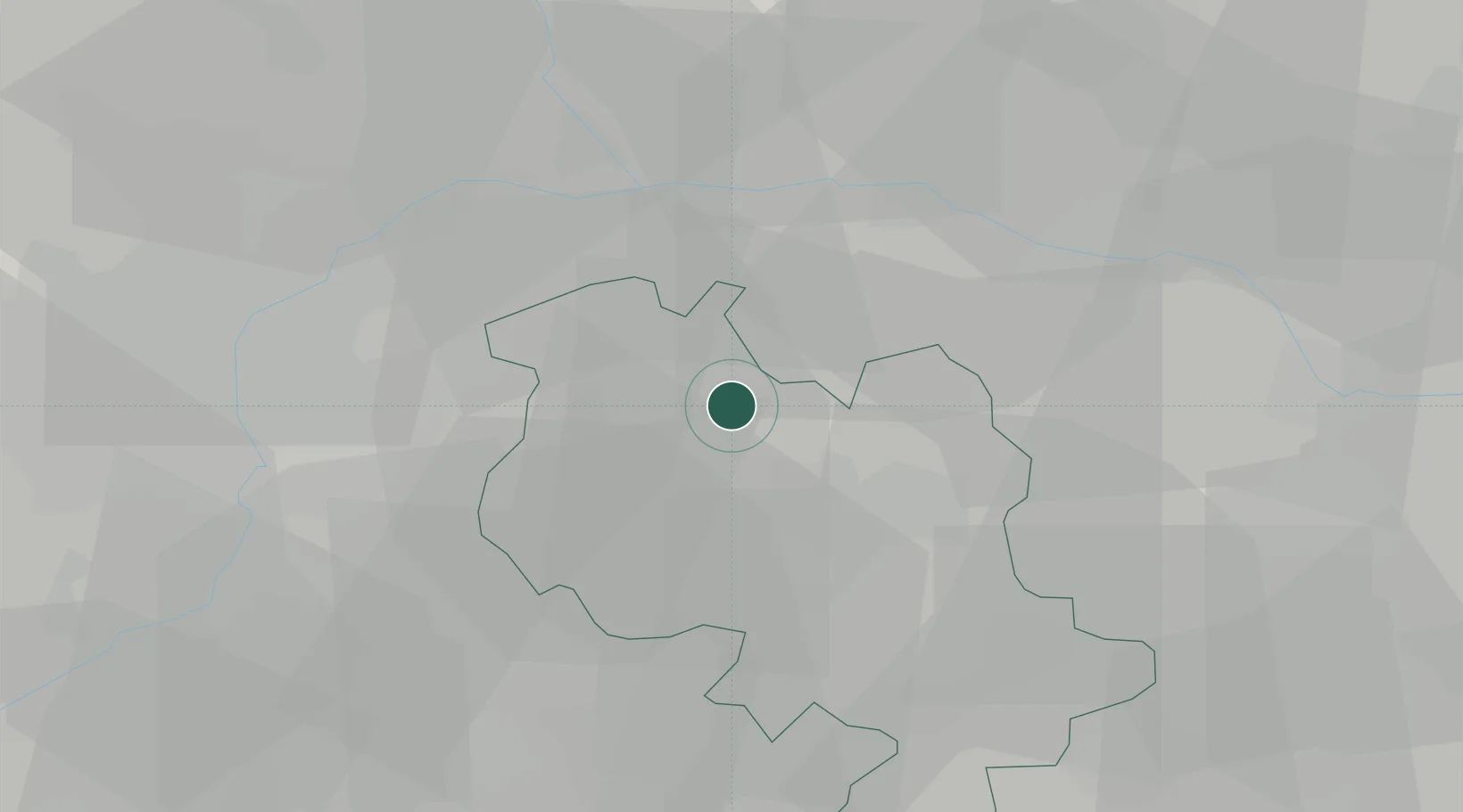
Montechiaro d'Asti
45.0167°, 8.1167°
1,170
Population
1
Transport functions
Transport Functions
Multimodal
Hub Profile
Place type
District seat
Region
Piedmont
Population
1,170
Time zone
Europe/Rome
Elevation
292 m
Location
Nearby Logistics Neighbours
Cities
- 1Piovà Massaia6 km
- 2Castell'Alfero9 km
- 3Portacomaro Stazione11 km
- 4Castelnuovo don Bosco12 km
- 5Villafranca d'Asti13 km
Ports
- 1Savona84 km
- 2Rada Di Vado88 km
- 3Genova94 km
- 4Chiavari - Lavagna124 km
- 5Imperia126 km
Airports
Trade Zones
- 1Magazzini Generali Con Chiasso113 km
- 2Aosta Valley129 km
- 3ZFU LAriane156 km
- 4ZFU Grenoble192 km
- 5Port Franc Vevey201 km
DatabookThe Record of Consolidated Knowledge
Italy beyond logistics?