Transport Functions
Rail
Road
Hub Profile
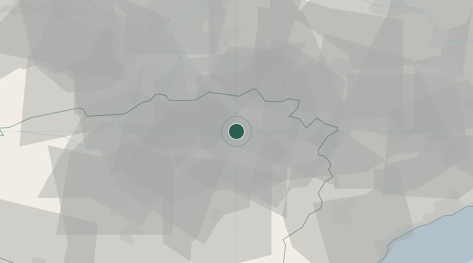
Place type
Populated place
Region
Piedmont
Population
368
Time zone
Europe/Rome
Elevation
243 m
Location
Nearby Logistics Neighbours
Cities
- 1Pocapaglia1 km
- 2Castiglione Falletto11 km
- 3Cervere12 km
- 4San Rocco Seno D'Elvio12 km
- 5Marene14 km
Ports
- 1Savona64 km
- 2Rada Di Vado65 km
- 3Genova88 km
- 4Imperia91 km
- 5San Remo99 km
Airports
Trade Zones
- 1ZFU LAriane117 km
- 2Aosta Valley143 km
- 3Magazzini Generali Con Chiasso151 km
- 4ZFU Grenoble183 km
- 5Geneva Freeport, La Praille, Geneva216 km
DatabookThe Record of Consolidated Knowledge
Italy beyond logistics?