Transport Functions
Road
Multimodal
Hub Profile
Place type
Populated place
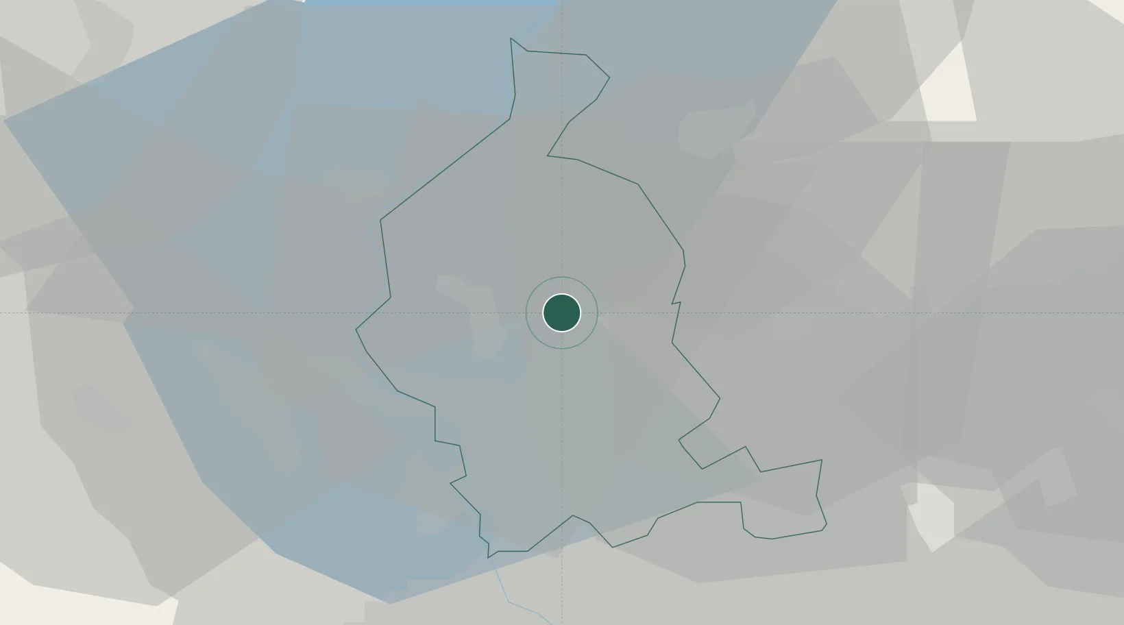
Region
Lombardy
Time zone
Europe/Rome
Elevation
417 m
Location
Nearby Logistics Neighbours
Cities
- 1Oltrona al Lago4 km
- 2Azzate4 km
- 3Buguggiate4 km
- 4Bodio Lomnago5 km
- 5Induno Olona5 km
Ports
- 1Genova158 km
- 2Savona168 km
- 3Chiavari - Lavagna173 km
- 4Rada Di Vado175 km
- 5La Spezia208 km
Airports
- 1Varese-Venegono Airport12 km
- 2Milan Malpensa International Airport21 km
- 3Lugano Airport23 km
- 4Cameri Air Base33 km
- 5Milano Linate Airport56 km
Trade Zones
- 1Magazzini Generali Con Chiasso13 km
- 2Livigno Free Trade Zone129 km
- 3Aosta Valley153 km
- 4Port Franc Vevey186 km
- 5PESA - Port-Franc et Entrepôts de Lausanne-Chavornay SA198 km
DatabookThe Record of Consolidated Knowledge
Italy beyond logistics?