Transport Functions
Rail
Road
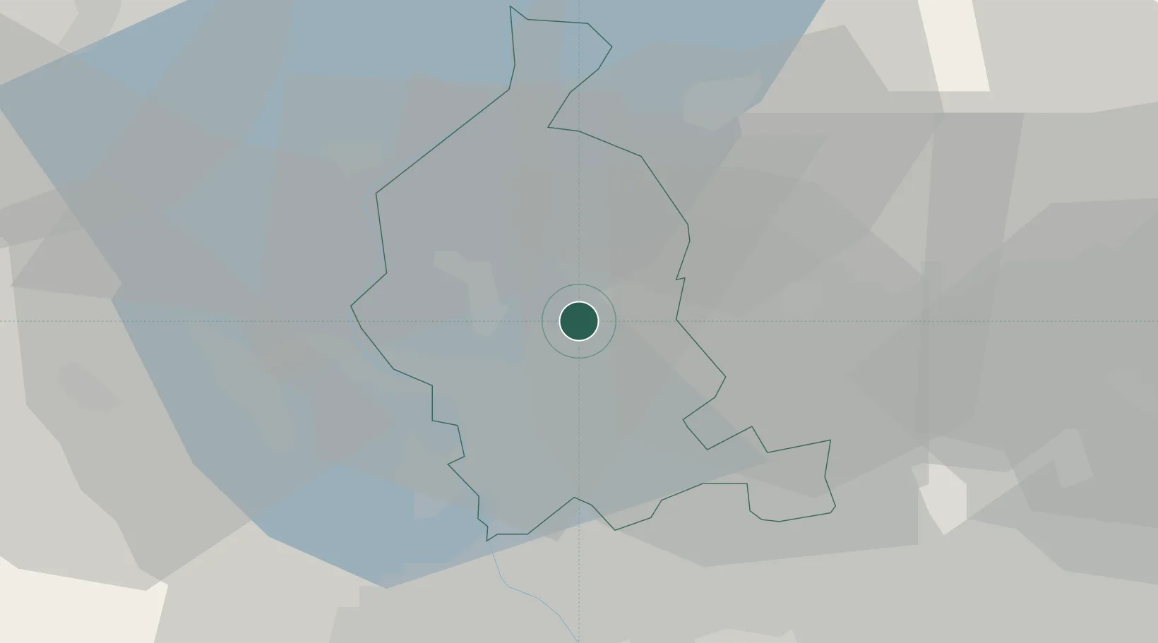
Hub Profile
Place type
District seat
Region
Lombardy
Population
4,443
Time zone
Europe/Rome
Elevation
332 m
Location
Nearby Logistics Neighbours
Cities
- 1Buguggiate0 km
- 2Gazzada2 km
- 3Bodio Lomnago4 km
- 4Masnago4 km
- 5Casale Litta6 km
Ports
- 1Genova154 km
- 2Savona165 km
- 3Chiavari - Lavagna170 km
- 4Rada Di Vado171 km
- 5La Spezia204 km
Airports
- 1Varese-Venegono Airport8 km
- 2Milan Malpensa International Airport18 km
- 3Lugano Airport26 km
- 4Cameri Air Base30 km
- 5Milano Linate Airport53 km
Trade Zones
- 1Magazzini Generali Con Chiasso13 km
- 2Livigno Free Trade Zone130 km
- 3Aosta Valley155 km
- 4Port Franc Vevey188 km
- 5PESA - Port-Franc et Entrepôts de Lausanne-Chavornay SA201 km
DatabookThe Record of Consolidated Knowledge
Italy beyond logistics?