Transport Functions
Rail
Road
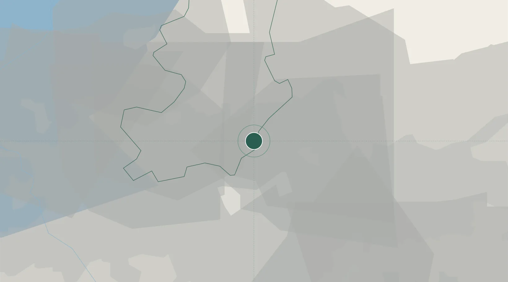
Hub Profile
Place type
District seat
Region
Lombardy
Population
2,455
Time zone
Europe/Rome
Elevation
280 m
Location
Nearby Logistics Neighbours
Cities
- 1Veduggio con Colzano3 km
- 2Monguzzo4 km
- 3Bulciago4 km
- 4Cassago Brianza4 km
- 5Arosio6 km
Ports
- 1Genova152 km
- 2Chiavari - Lavagna161 km
- 3Savona170 km
- 4Rada Di Vado176 km
- 5La Spezia190 km
Airports
Trade Zones
- 1Magazzini Generali Con Chiasso25 km
- 2Livigno Free Trade Zone110 km
- 3Aosta Valley188 km
- 4Consorzio Zona Industriale e Porto Fluviale di Padova213 km
- 5Port Franc Vevey221 km
DatabookThe Record of Consolidated Knowledge
Italy beyond logistics?