UN/LOCODE hub · Italy
ITCNF
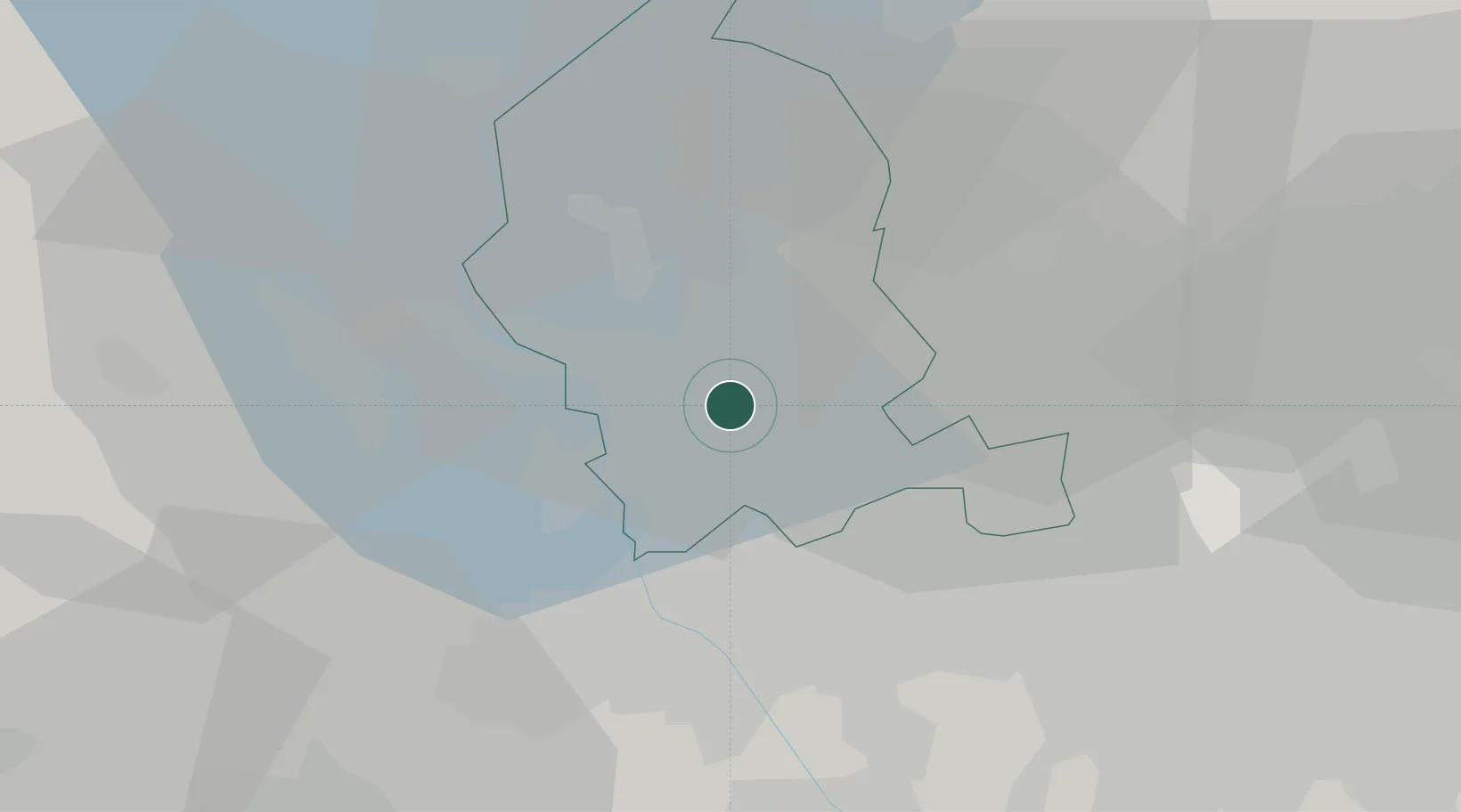
Cavaria con Premezzo
45.6833°, 8.7833°
5,639
Population
3
Transport functions
Transport Functions
Rail
Road
Multimodal
Hub Profile
Place type
District seat
Region
Lombardy
Population
5,639
Time zone
Europe/Rome
Elevation
271 m
Location
Nearby Logistics Neighbours
Cities
- 1Besnate2 km
- 2Casorate Sempione4 km
- 3Arsago Seprio5 km
- 4Samarate6 km
- 5Busto Arsizio6 km
Ports
- 1Genova143 km
- 2Savona154 km
- 3Chiavari - Lavagna159 km
- 4Rada Di Vado160 km
- 5La Spezia195 km
Airports
- 1Milan Malpensa International Airport7 km
- 2Varese-Venegono Airport10 km
- 3Cameri Air Base19 km
- 4Lugano Airport37 km
- 5Milano Linate Airport47 km
Trade Zones
- 1Magazzini Generali Con Chiasso22 km
- 2Livigno Free Trade Zone139 km
- 3Aosta Valley153 km
- 4Port Franc Vevey192 km
- 5PESA - Port-Franc et Entrepôts de Lausanne-Chavornay SA206 km
DatabookThe Record of Consolidated Knowledge
Italy beyond logistics?