Transport Functions
Rail
Road
Multimodal
Hub Profile
Logistics facilities
1
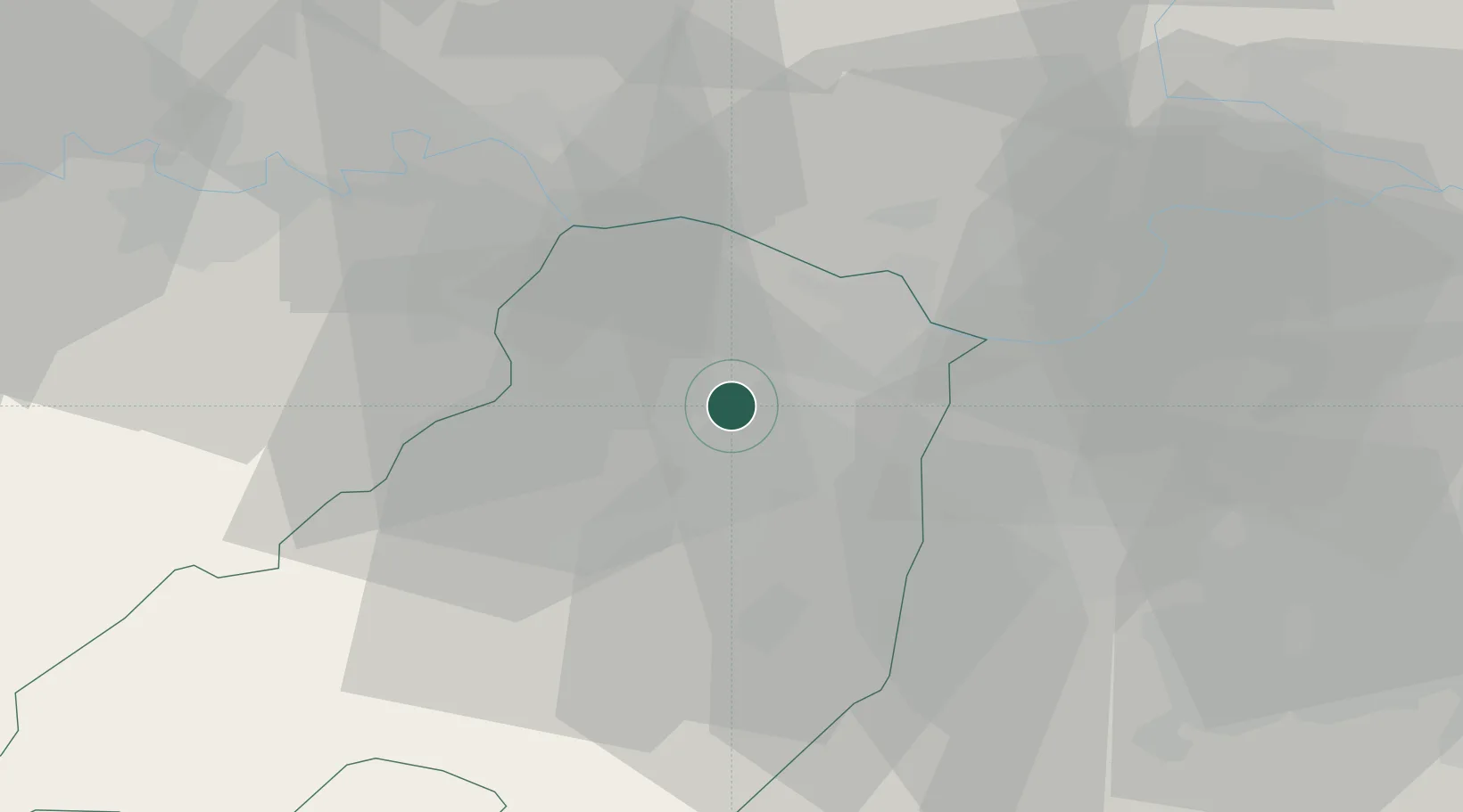
Location
Nearby Logistics Neighbours
Cities
- 1Viarolo2 km
- 2San Pancrazio Parmense6 km
- 3Fontanellato7 km
- 4Fontevivo7 km
- 5Paradigna8 km
Ports
- 1La Spezia89 km
- 2Marina Di Carrara93 km
- 3Chiavari - Lavagna94 km
- 4Viareggio110 km
- 5Genova116 km
Airports
Trade Zones
- 1Consorzio Zona Industriale e Porto Fluviale di Padova146 km
- 2Magazzini Generali Con Chiasso150 km
- 3Free Port of Venice175 km
- 4Livigno Free Trade Zone187 km
- 5ZFU LAriane265 km
DatabookThe Record of Consolidated Knowledge
Italy beyond logistics?