Transport Functions
Road
Multimodal
Hub Profile
Place type
District seat
Region
Piedmont
Population
1,971
Time zone
Europe/Rome
Elevation
295 m
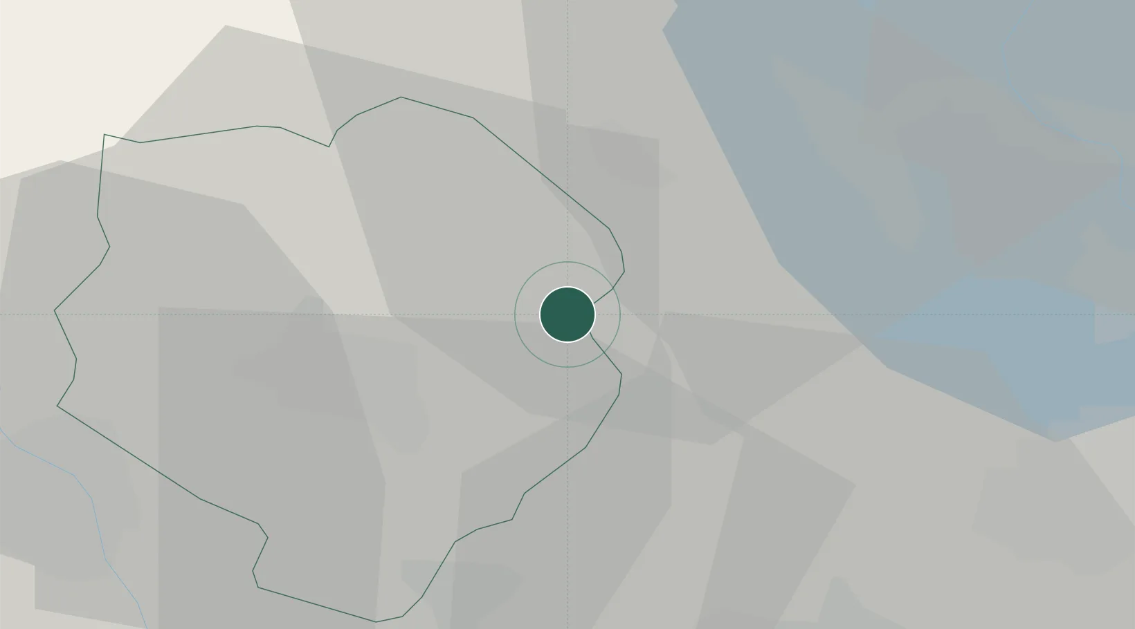
Location
Nearby Logistics Neighbours
Cities
- 1Roasio3 km
- 2Rovasenda9 km
- 3Gattinara9 km
- 4Coggiola11 km
- 5Serravalle Sesia11 km
Ports
- 1Genova144 km
- 2Savona144 km
- 3Rada Di Vado149 km
- 4Chiavari - Lavagna167 km
- 5Imperia192 km
Airports
- 1Biella-Cerrione Airfield16 km
- 2Cameri Air Base34 km
- 3Milan Malpensa International Airport37 km
- 4Varese-Venegono Airport52 km
- 5Turin Airport65 km
Trade Zones
- 1Magazzini Generali Con Chiasso61 km
- 2Aosta Valley113 km
- 3Port Franc Vevey162 km
- 4Livigno Free Trade Zone176 km
- 5Geneva Freeport, La Praille, Geneva177 km
DatabookThe Record of Consolidated Knowledge
Italy beyond logistics?