Transport Functions
Port
Rail
Road
Hub Profile
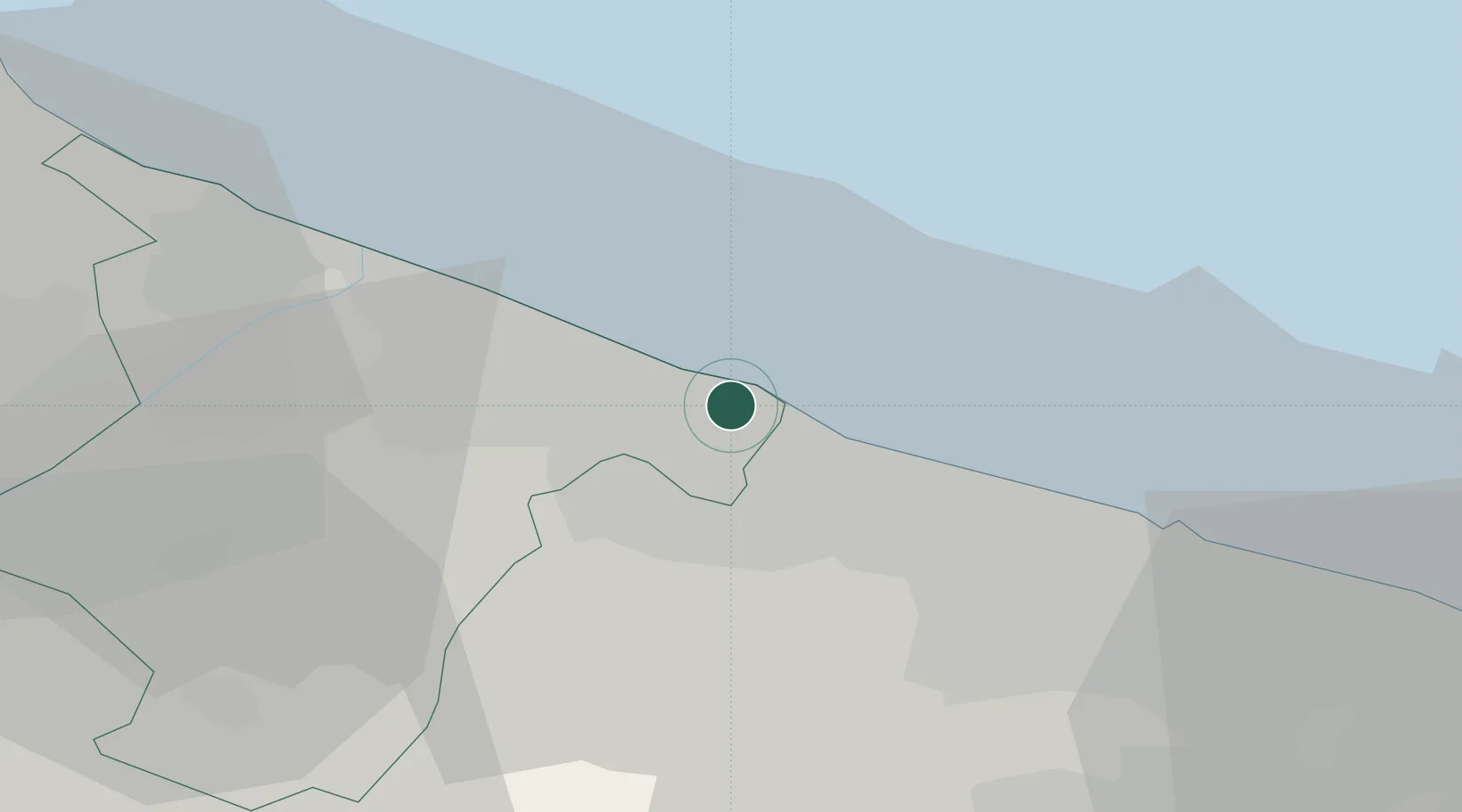
Place type
District seat
Region
Apulia
Population
55,385
Time zone
Europe/Rome
Elevation
16 m
Location
Nearby Logistics Neighbours
Cities
- 1Terlizzi12 km
- 2Ruvo di Puglia13 km
- 3Giovinazzo15 km
- 4Barletta20 km
- 5Palo del Colle26 km
Ports
- 1Trani9 km
- 2Molfetta9 km
- 3Porto Di Barletta21 km
- 4Bari31 km
- 5Mola Di Bari54 km
Airports
Trade Zones
DatabookThe Record of Consolidated Knowledge
Italy beyond logistics?