Transport Functions
Multimodal
Hub Profile
Place type
District seat
Region
Campania
Population
1,998
Time zone
Europe/Rome
Elevation
277 m
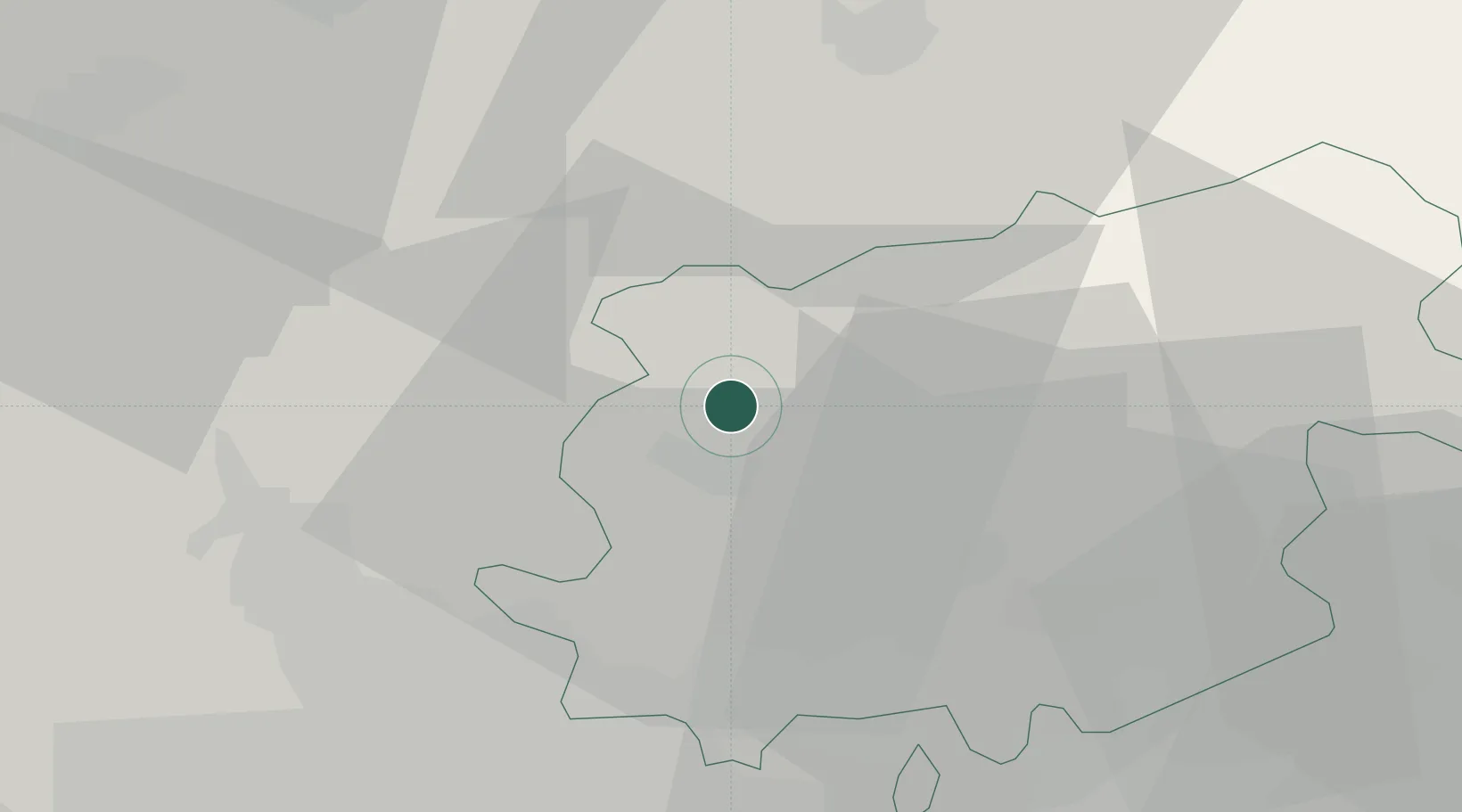
Location
Nearby Logistics Neighbours
Cities
- 1Ponte12 km
- 2Alife19 km
- 3Vinchiaturo22 km
- 4Airola24 km
- 5Bonea25 km
Ports
- 1Napoli55 km
- 2Torre Del Greco58 km
- 3Torre Annunziata60 km
- 4Bagnoli62 km
- 5Pozzuoli63 km
Airports
- 1Grazzanise Air Base46 km
- 2Naples International Airport49 km
- 3Salerno Costa d'Amalfi Airport80 km
- 4Foggia Gino Lisa Airport84 km
- 5Amendola Air Base101 km
DatabookThe Record of Consolidated Knowledge
Italy beyond logistics?