Transport Functions
Rail
Road
Hub Profile
Place type
District seat
Region
Campania
Population
1,717
Time zone
Europe/Rome
Elevation
147 m
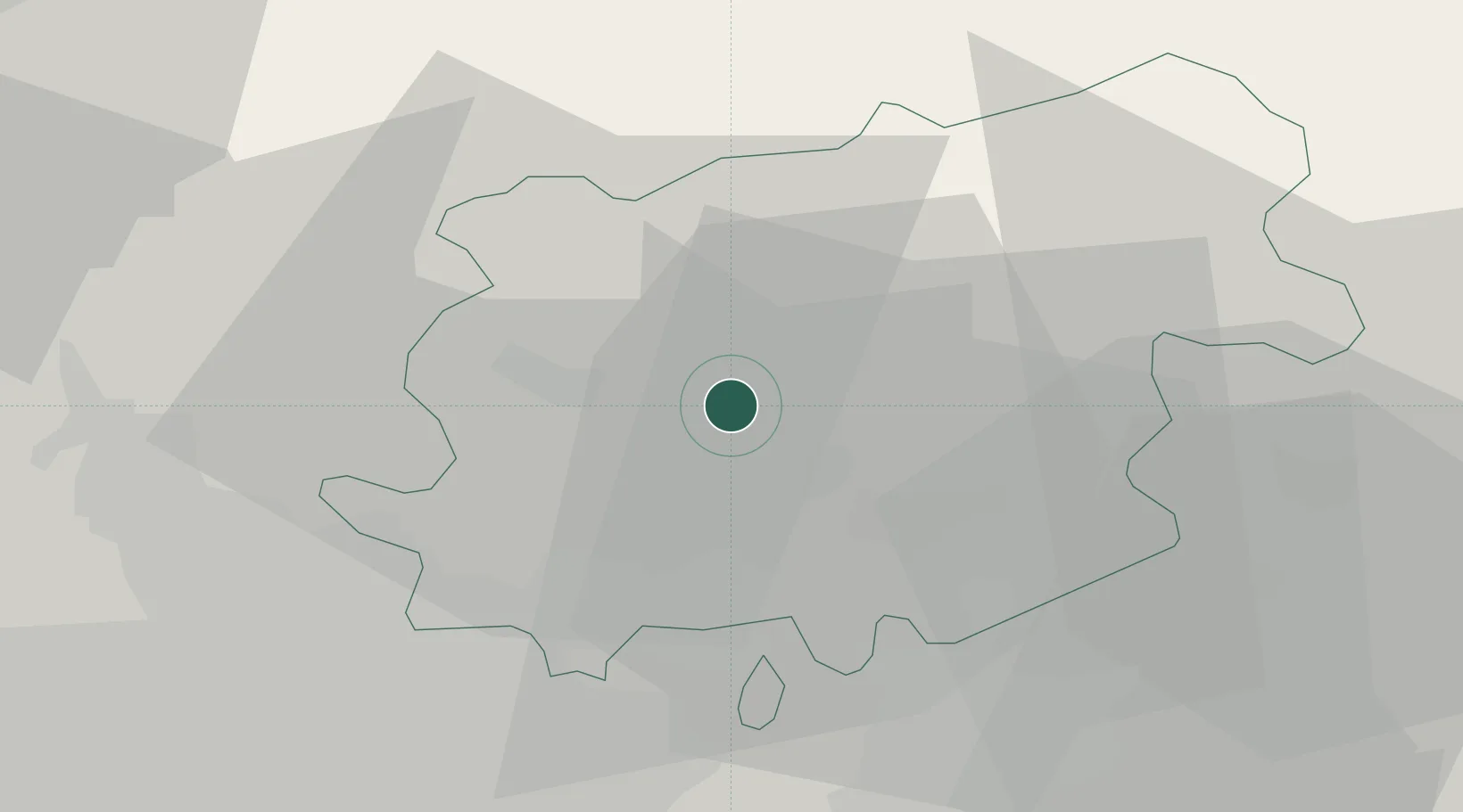
Location
Nearby Logistics Neighbours
Cities
- 1Cerreto Sannita12 km
- 2Apollosa15 km
- 3Pago Veiano17 km
- 4Montesarchio17 km
- 5Bonea17 km
Ports
- 1Napoli54 km
- 2Torre Del Greco54 km
- 3Torre Annunziata55 km
- 4Castellammare Di Stabia60 km
- 5Salerno62 km
Airports
- 1Naples International Airport48 km
- 2Grazzanise Air Base52 km
- 3Salerno Costa d'Amalfi Airport69 km
- 4Foggia Gino Lisa Airport76 km
- 5Amendola Air Base95 km
DatabookThe Record of Consolidated Knowledge
Italy beyond logistics?