Transport Functions
Rail
Road
Hub Profile
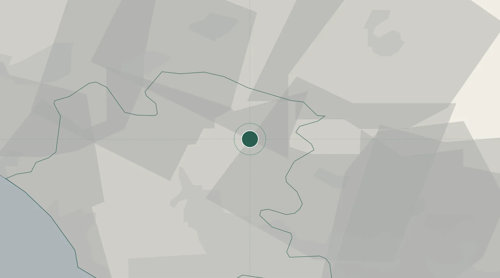
Place type
District seat
Region
Campania
Population
3,477
Time zone
Europe/Rome
Elevation
110 m
Location
Nearby Logistics Neighbours
Cities
- 1Cerreto Sannita19 km
- 2Bellona20 km
- 3Pastorano20 km
- 4Pignataro Maggiore22 km
- 5Pettoranello26 km
Ports
- 1Napoli56 km
- 2Pozzuoli60 km
- 3Bagnoli60 km
- 4Formia61 km
- 5Torre Del Greco61 km
Airports
- 1Grazzanise Air Base37 km
- 2Naples International Airport50 km
- 3Salerno Costa d'Amalfi Airport93 km
- 4Foggia Gino Lisa Airport101 km
- 5Amendola Air Base118 km
DatabookThe Record of Consolidated Knowledge
Italy beyond logistics?