UN/LOCODE hub · Italy
ITAMT

Amantea

39.1333°, 16.0667°
8,917
Population
2
Transport functions

Transport Functions

Port
Road
UN/LOCODE

Hub Profile

Place type
District seat
GeoNames
Region
Calabria
GeoNames
Population
8,917
GeoNames
Time zone
Europe/Rome
GeoNames
Elevation
50 m
GeoNames

Location

Location of ITAMT
Natural Earth 10m (public domain) · Calabria · ITAMT · 39.13, 16.07GoogleOSMYandex

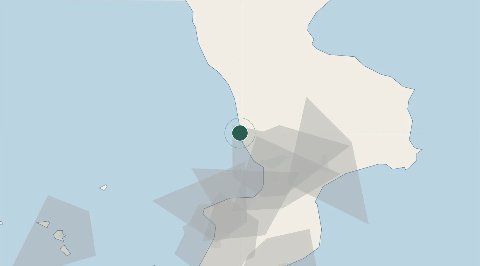
Nearby Logistics Neighbours

Cities
  1. 1Gizzeria20 km
  2. 2Figline Vegliaturo24 km
  3. 3Paola24 km
  4. 4Luzzi40 km
  5. 5Cetraro44 km
Nearest neighbours — logibook spatial index (haversine) over the source coordinates
Ports
  1. 1Vibo Valentia Marina46 km
  2. 2Corigliano Calabro72 km
  3. 3Gioia Tauro78 km
  4. 4Crotone93 km
  5. 5Ciro Marina96 km
Nearest neighbours — logibook spatial index (haversine) over the source coordinates
Airports
  1. 1Lamezia Terme Sant'Eufemia International Airport30 km
  2. 2Crotone Sant'Anna Pythagoras Airport89 km
  3. 3Reggio Calabria Airport124 km
  4. 4Taranto-Grottaglie Marcello Arlotta Airport192 km
  5. 5Salerno Costa d'Amalfi Airport193 km
Nearest neighbours — logibook spatial index (haversine) over the source coordinates
Trade Zones
  1. 1Calabria Special Economic Zone24 km
  2. 2Basilicata Special Economic Zone160 km
  3. 3Puglia (Apulia) Special Economic Zone Area212 km
  4. 4Adriatic Special Economic Zone (Foggia-Molise)231 km
  5. 5Sicily Special Economic Zone Area235 km
Nearest neighbours — logibook spatial index (haversine) over the source coordinates
DatabookThe Record of Consolidated Knowledge
Italy beyond logistics?
Browse databook

All Sources

LocationsUN/LOCODE
UN/LOCODE — free
LocationsGeoNames
CC BY 4.0
Portsthe NGA World Port Index
Public domain (US gov)
AirportsOurAirports
Public domain
Trade Zonesthe World Bank SEZ database
CC BY 4.0
Trade ZonesOpen Zone Map
CC BY
← Italy locations