Seaport · Italy
Gioia TauroITGIT
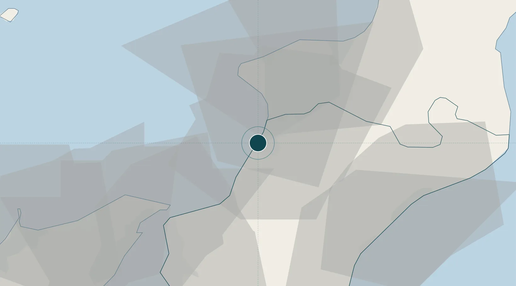
38.4440°, 15.8900°
17.1 m
Channel depth
1
Container terminals
325.6
Port liner connectivity
Channel & Berth Profile
Pilotage, Tugs & Services
Pilotage compulsoryYES
Pilotage availableYES
Local assistanceYES
Tug assistanceYES
Potable waterYES
Diesel bunkersYES
MedicalYES
Garbage disposalYES
Facilities & Capabilities
Container—
Ro-Ro—
Liquid bulk—
Dry bulk—
Oil terminal—
Break bulk—
Dry dockNO
RepairsNO
BunkeringYES
Rail linkYES
Dangerous cargo—
ISPS security—
Harbour Specifications
Harbour size
Large
Harbour type
Canal or Lake
Shelter
Fair
Water body
Tyrrhenian Sea; Mediterranean Sea; North Atlantic Ocean
Tidal range
1 m
Pilotage
Yes
Liner Connectivity
325.6
PLSCI
Port Liner Shipping Connectivity Index for Gioia Tauro, as published by UNCTAD for the latest available quarter. Higher values indicate stronger scheduled liner-shipping integration.
Shown relative to the highest per-port PLSCI in the dataset (1,657.9).
Location
Container Terminals · 1
MCT MEDCENTER CONTAINER TERMINAL
MCT MCT MEDCENTER CONTAINER TERMINAL S.P.A.
Nearby Logistics Neighbours
Ports
- 1Villa San Giovanni34 km
- 2Vibo Valentia Marina37 km
- 3Messina39 km
- 4Reggio Di Calabria41 km
- 5Milazzo61 km
Cities
- 1Rosarno8 km
- 2Palmi11 km
- 3Nicotera Marina12 km
- 4Taurianova15 km
- 5Melicucco15 km
Airports
Trade Zones
DatabookThe Record of Consolidated Knowledge
Italy beyond logistics?