Transport Functions
Rail
Road
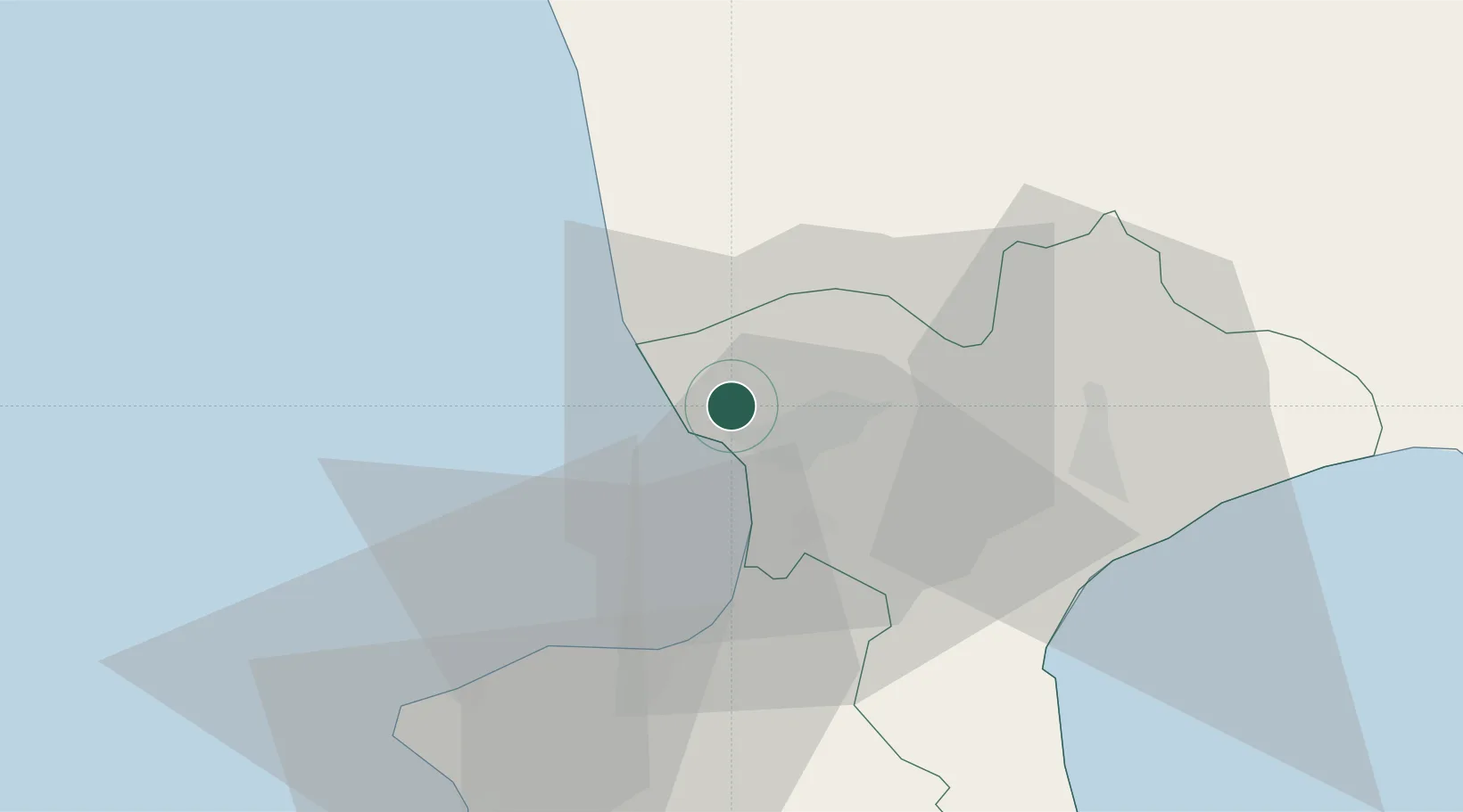
Hub Profile
Place type
District seat
Region
Calabria
Population
1,416
Time zone
Europe/Rome
Elevation
630 m
Location
Nearby Logistics Neighbours
Cities
- 1Amantea20 km
- 2Francavilla Angitola25 km
- 3Figline Vegliaturo28 km
- 4Pizzo28 km
- 5Maierato32 km
Ports
- 1Vibo Valentia Marina30 km
- 2Gioia Tauro66 km
- 3Crotone82 km
- 4Corigliano Calabro82 km
- 5Ciro Marina92 km
Airports
DatabookThe Record of Consolidated Knowledge
Italy beyond logistics?