Transport Functions
Port
Rail
Road
Hub Profile
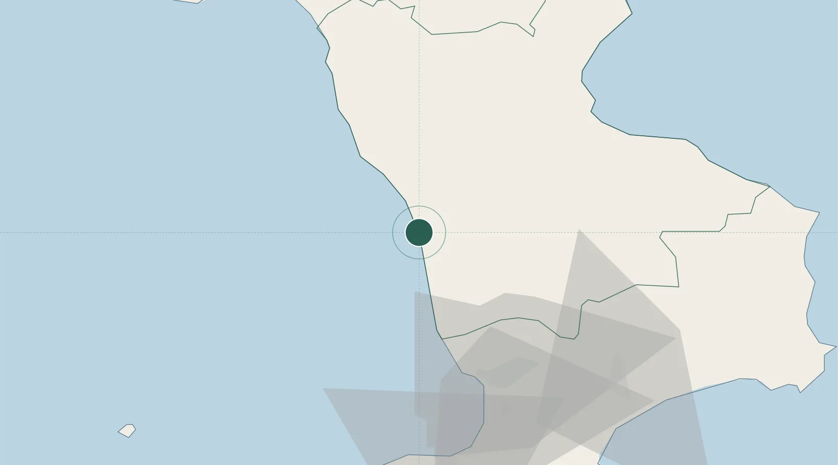
Place type
District seat
Region
Calabria
Population
12,649
Time zone
Europe/Rome
Elevation
94 m
Location
Nearby Logistics Neighbours
Cities
- 1Cetraro20 km
- 2Luzzi24 km
- 3Amantea24 km
- 4Bisignano28 km
- 5Figline Vegliaturo29 km
Ports
- 1Corigliano Calabro56 km
- 2Vibo Valentia Marina70 km
- 3Ciro Marina95 km
- 4Crotone100 km
- 5Gioia Tauro102 km
Airports
DatabookThe Record of Consolidated Knowledge
Italy beyond logistics?