Transport Functions
Port
Road
Hub Profile
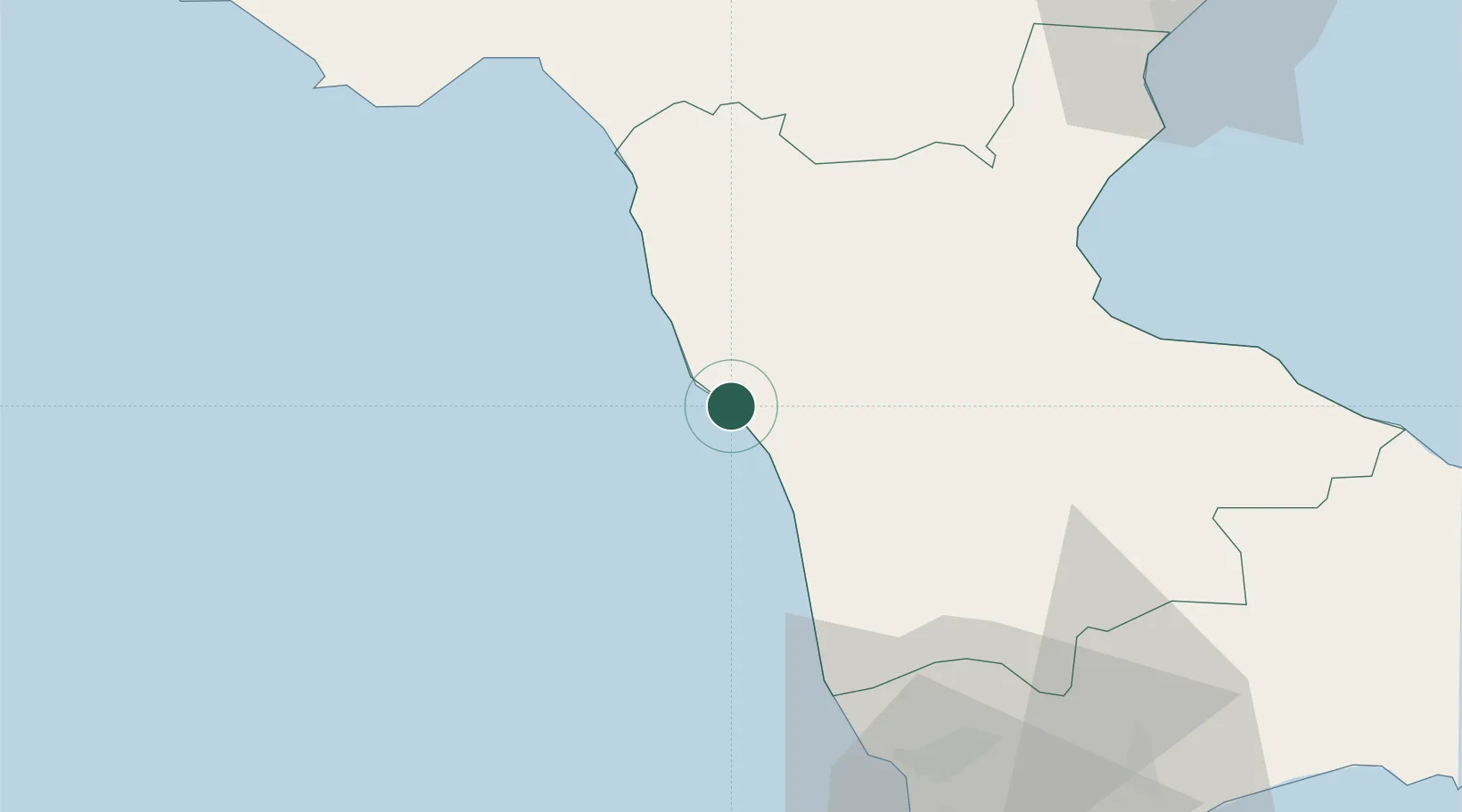
Place type
District seat
Region
Calabria
Population
1,555
Time zone
Europe/Rome
Elevation
120 m
Location
Nearby Logistics Neighbours
Cities
- 1Belvedere Marittimo13 km
- 2Paola20 km
- 3Diamante21 km
- 4Bisignano30 km
- 5Luzzi31 km
Ports
- 1Corigliano Calabro54 km
- 2Vibo Valentia Marina90 km
- 3Ciro Marina105 km
- 4Crotone114 km
- 5Gioia Tauro119 km
Airports
DatabookThe Record of Consolidated Knowledge
Italy beyond logistics?