Transport Functions
Port
Road
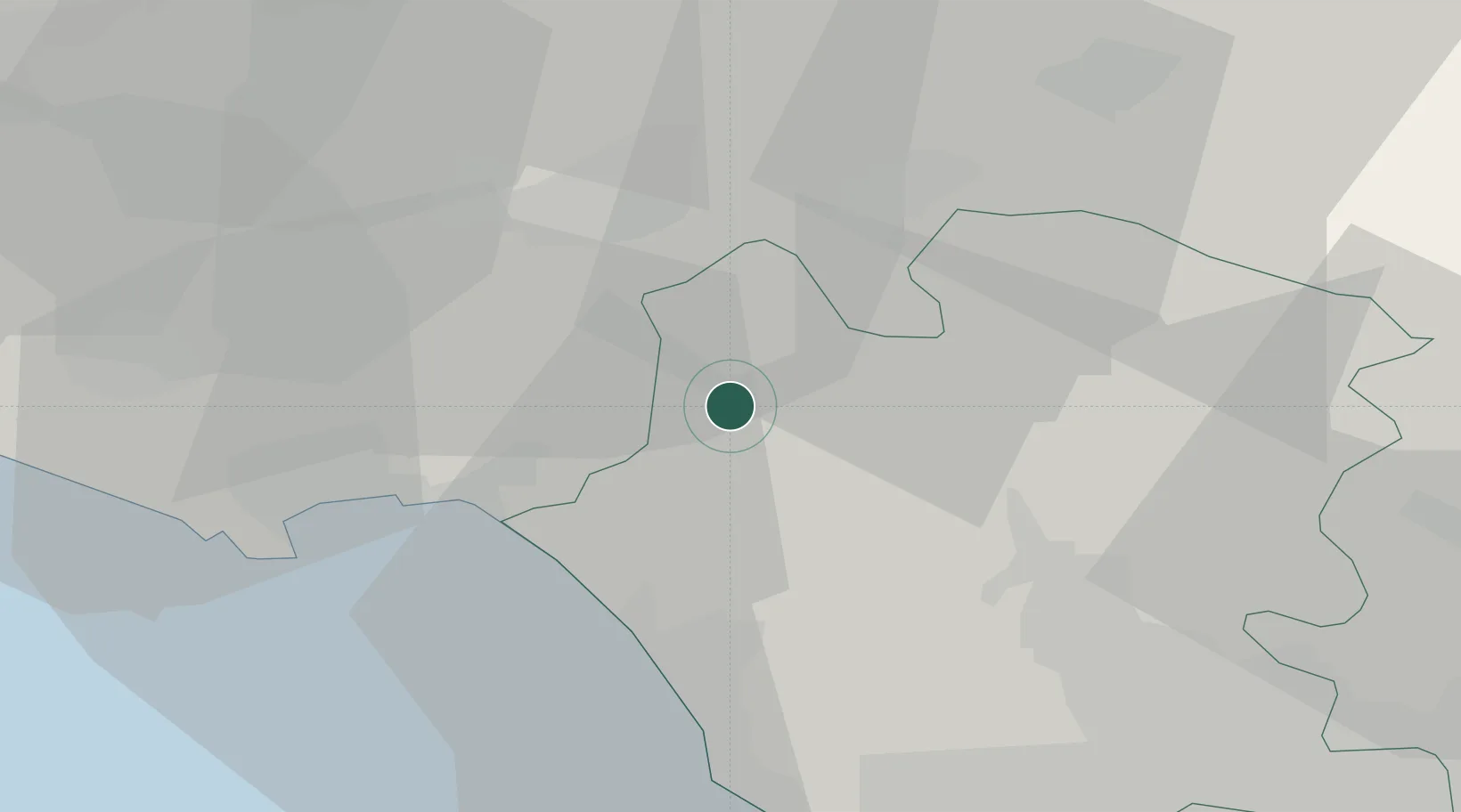
Hub Profile
Place type
District seat
Region
Campania
Population
21,881
Time zone
Europe/Rome
Elevation
3 m
Location
Nearby Logistics Neighbours
Cities
- 1Mignano Monte Lungo6 km
- 2Santi Cosma e Damiano12 km
- 3Ausonia15 km
- 4Tufo16 km
- 5Cellole16 km
Airports
DatabookThe Record of Consolidated Knowledge
Italy beyond logistics?