UN/LOCODE hub · Italy
ITZNN
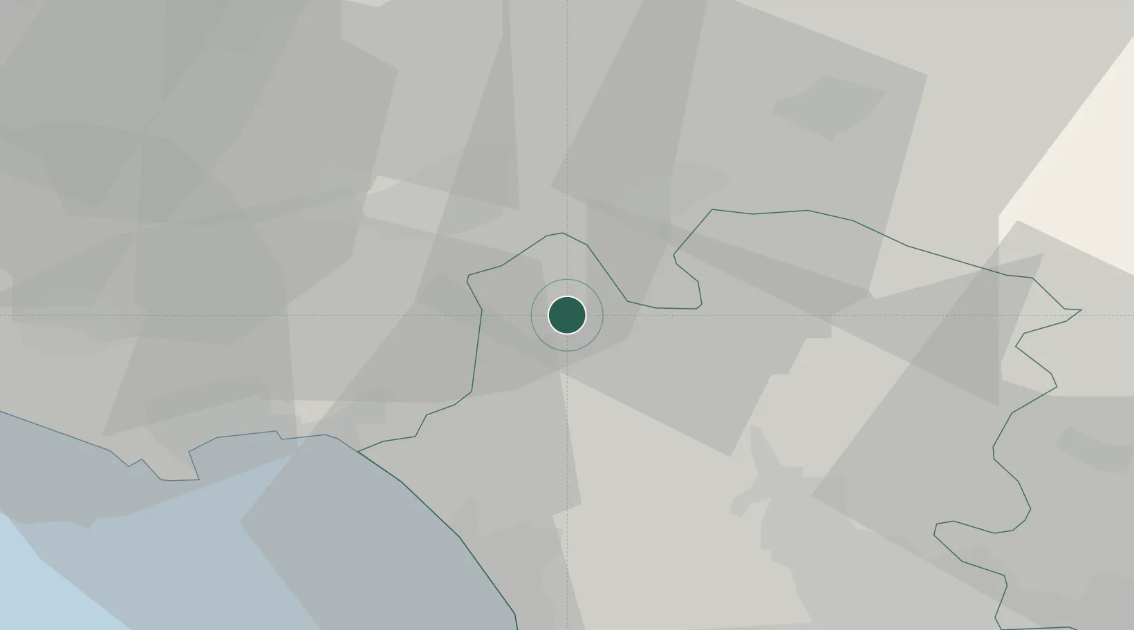
Mignano Monte Lungo
41.3833°, 13.9667°
1,870
Population
1
Transport functions
Transport Functions
Multimodal
Hub Profile
Place type
District seat
Region
Campania
Population
1,870
Time zone
Europe/Rome
Elevation
137 m
Location
Nearby Logistics Neighbours
Cities
- 1Castel Volturno6 km
- 2Santi Cosma e Damiano17 km
- 3Ausonia19 km
- 4Tufo21 km
- 5Piedimonte San Germano22 km
Airports
- 1Grazzanise Air Base37 km
- 2Naples International Airport62 km
- 3Latina Air Base90 km
- 4Salerno Costa d'Amalfi Airport116 km
- 5Abruzzo Airport118 km
DatabookThe Record of Consolidated Knowledge
Italy beyond logistics?