Transport Functions
Multimodal
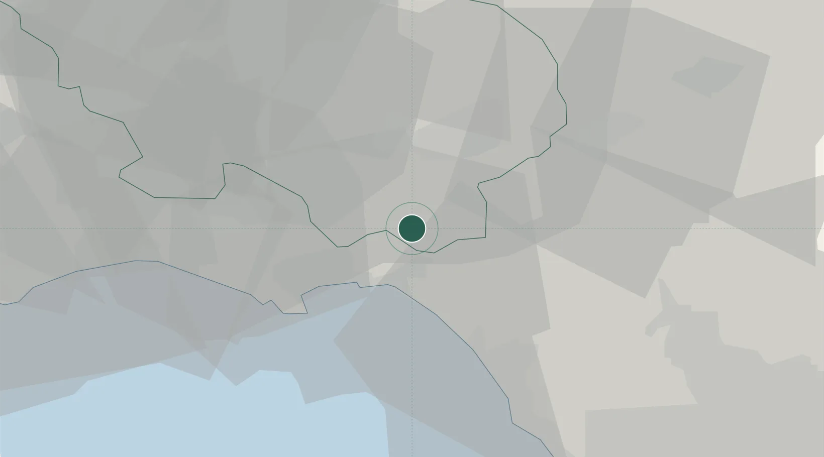
Hub Profile
Place type
District seat
Region
Lazio
Population
932
Time zone
Europe/Rome
Elevation
178 m
Location
Nearby Logistics Neighbours
Cities
- 1Spigno Saturnia6 km
- 2Santi Cosma e Damiano7 km
- 3Tufo9 km
- 4Scauri12 km
- 5Castel Volturno15 km
Ports
- 1Formia16 km
- 2Gaeta20 km
- 3Terracina42 km
- 4San Felice Circeo56 km
- 5Baia65 km
Airports
- 1Grazzanise Air Base43 km
- 2Naples International Airport69 km
- 3Latina Air Base73 km
- 4Ciampino–G. B. Pastine International Airport108 km
- 5Guidonia Air Base110 km
DatabookThe Record of Consolidated Knowledge
Italy beyond logistics?