UN/LOCODE hub · Italy
ITCL4

Cellole

41.2000°, 13.8500°
5,765
Population
1
Transport functions

Transport Functions

Multimodal
UN/LOCODE

Hub Profile

Place type
District seat
GeoNames
Region
Campania
GeoNames
Population
5,765
GeoNames
Time zone
Europe/Rome
GeoNames
Elevation
19 m
GeoNames

Location

Location of ITCL4
Natural Earth 10m (public domain) · Campania · ITCL4 · 41.20, 13.85GoogleOSMYandex

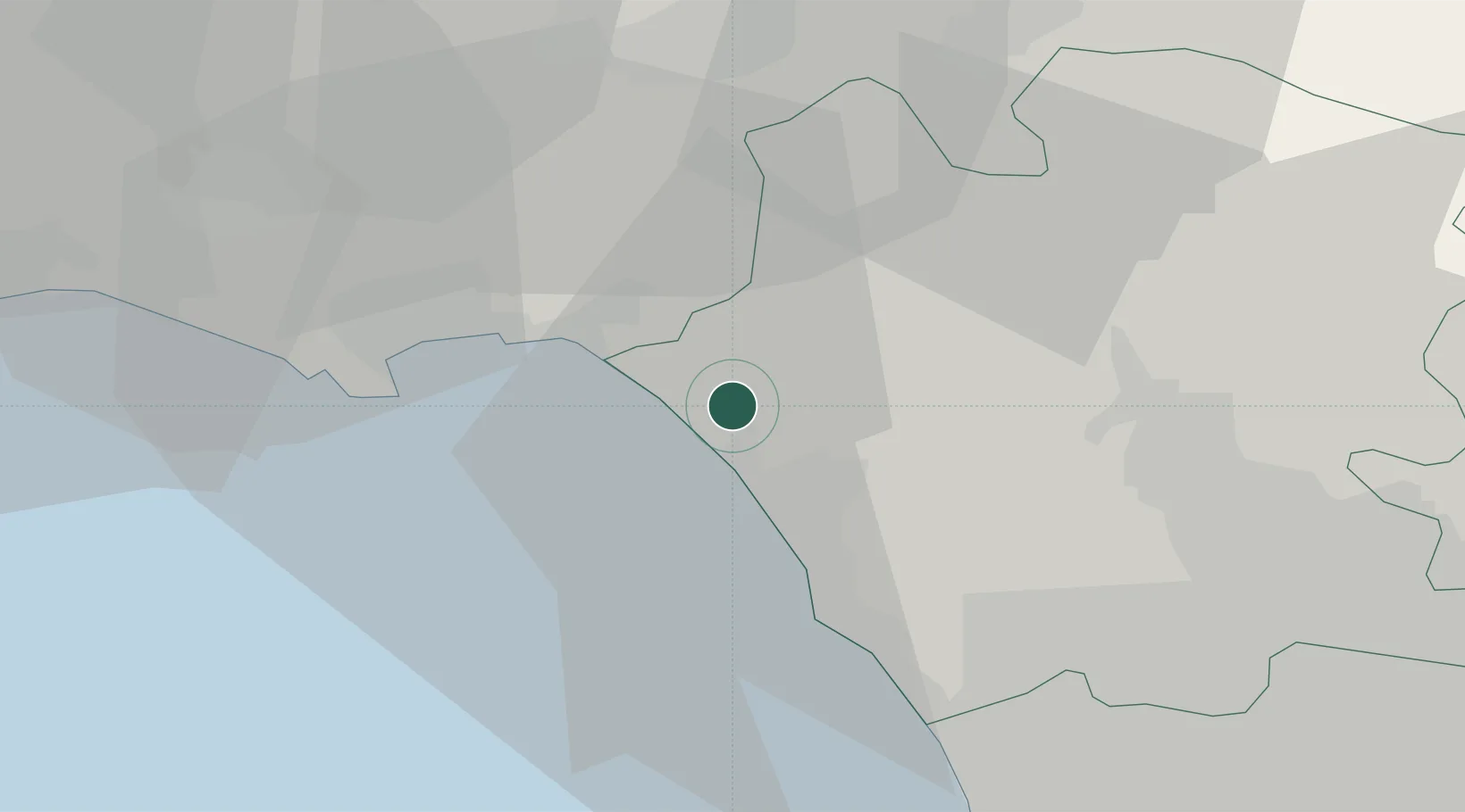
Nearby Logistics Neighbours

Cities
  1. 1Mondragone10 km
  2. 2Tufo10 km
  3. 3Santi Cosma e Damiano12 km
  4. 4Scauri14 km
  5. 5Spigno Saturnia16 km
Nearest neighbours — logibook spatial index (haversine) over the source coordinates
Ports
  1. 1Formia21 km
  2. 2Gaeta23 km
  3. 3Baia47 km
  4. 4Pozzuoli47 km
  5. 5Casamicciola50 km
Nearest neighbours — logibook spatial index (haversine) over the source coordinates
Airports
  1. 1Grazzanise Air Base25 km
  2. 2Naples International Airport51 km
  3. 3Latina Air Base87 km
  4. 4Salerno Costa d'Amalfi Airport110 km
  5. 5Ciampino–G. B. Pastine International Airport124 km
Nearest neighbours — logibook spatial index (haversine) over the source coordinates
Trade Zones
  1. 1Campania Special Economic Zone (Naples and Salerno)53 km
  2. 2Ionian Special Economic Zone59 km
  3. 3Abruzzo Special Economic Zone128 km
  4. 4Puglia (Apulia) Special Economic Zone Area149 km
  5. 5Basilicata Special Economic Zone161 km
Nearest neighbours — logibook spatial index (haversine) over the source coordinates
DatabookThe Record of Consolidated Knowledge
Italy beyond logistics?
Browse databook

All Sources

LocationsUN/LOCODE
UN/LOCODE — free
LocationsGeoNames
CC BY 4.0
Portsthe NGA World Port Index
Public domain (US gov)
AirportsOurAirports
Public domain
Trade Zonesthe World Bank SEZ database
CC BY 4.0
Trade ZonesOpen Zone Map
CC BY
← Italy locations