Transport Functions
Port
Multimodal
Hub Profile
Place type
Populated place
Region
Borsod-Abaúj-Zemplén
Time zone
Europe/Budapest
Elevation
161 m
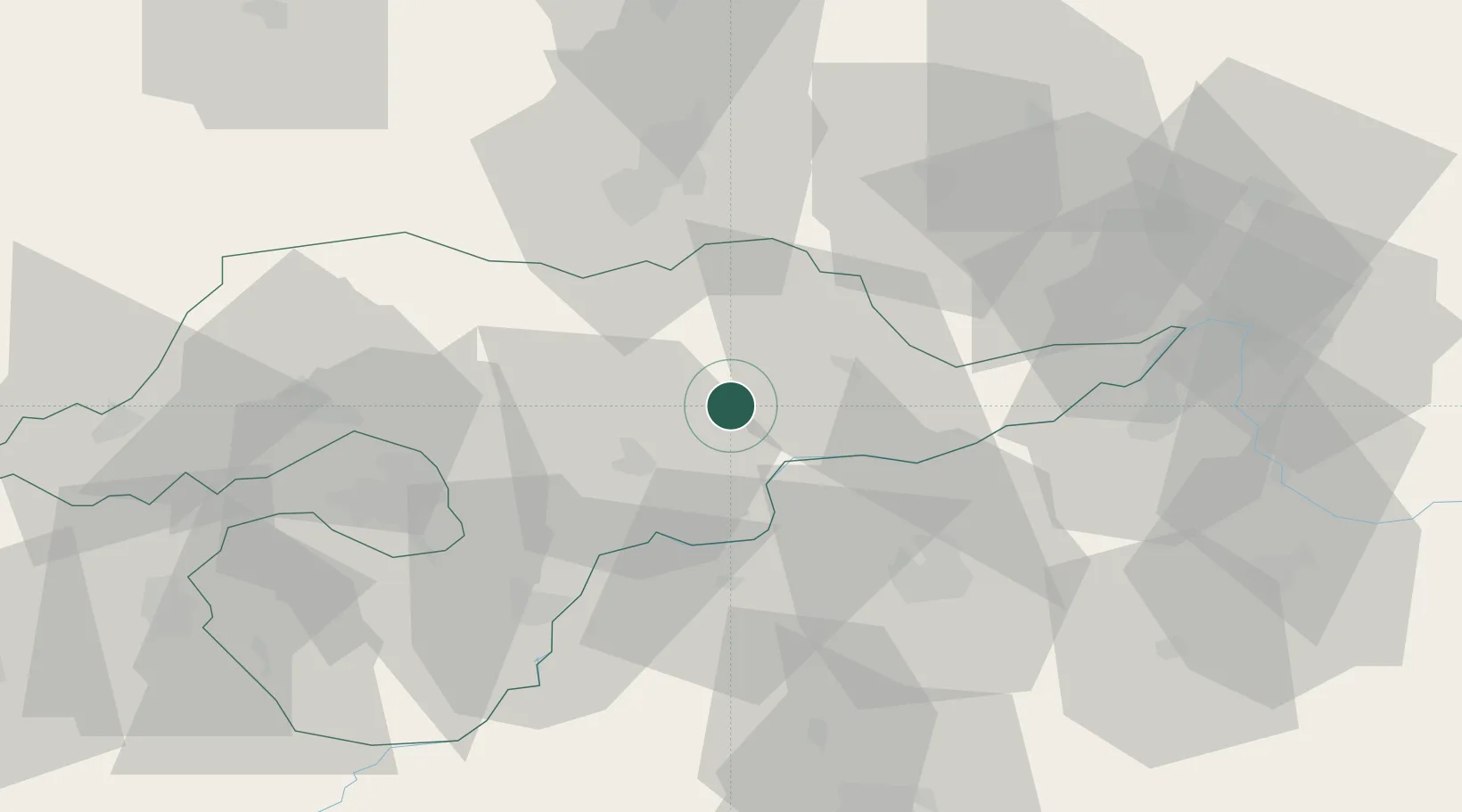
Location
Nearby Logistics Neighbours
Cities
- 1Abaújszántó13 km
- 2Tarcal15 km
- 3Mezozombor15 km
- 4Sárospatak16 km
- 5Tokaj17 km
Ports
- 1Braila605 km
- 2Senj614 km
- 3Bakar616 km
- 4Omisalj620 km
- 5Rijeka Luka620 km
Airports
Trade Zones
DatabookThe Record of Consolidated Knowledge
Hungary beyond logistics?