Transport Functions
Rail
Road
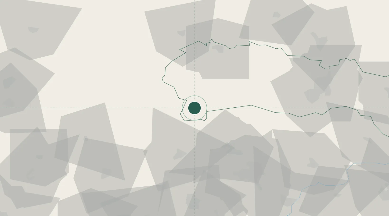
Hub Profile
Place type
Populated place
Region
Košice Region
Time zone
Europe/Bratislava
Elevation
216 m
Location
Nearby Logistics Neighbours
Cities
- 1Gemerská Horka2 km
- 2Jelsava15 km
- 3Lubeník20 km
- 4Perkupa24 km
- 5Tornanádaska28 km
Ports
- 1Bakar573 km
- 2Senj577 km
- 3Rijeka Luka577 km
- 4Omisalj579 km
- 5Zaliv Rasa619 km
Airports
- 1Poprad-Tatry Airport59 km
- 2Košice International Airport63 km
- 3Sliač Airport94 km
- 4Uzhhorod International Airport137 km
- 5Debrecen International Airport149 km
Trade Zones
DatabookThe Record of Consolidated Knowledge
Slovakia beyond logistics?