Transport Functions
Port
Rail
Road
Hub Profile
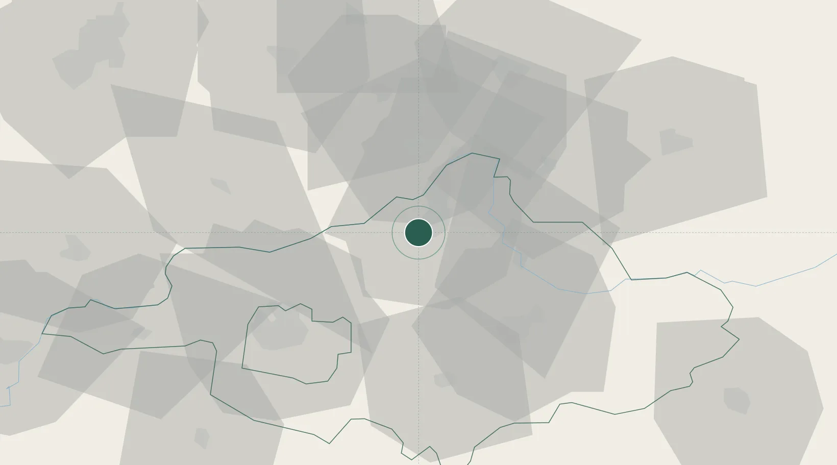
Place type
Provincial seat
Region
Szabolcs-Szatmár-Bereg
Population
18,190
Time zone
Europe/Budapest
Elevation
106 m
Location
Nearby Logistics Neighbours
Cities
- 1Rétközberencs4 km
- 2Mandok15 km
- 3Tiszabezded18 km
- 4Pribenik19 km
- 5Vásárosnamény21 km
Airports
Trade Zones
DatabookThe Record of Consolidated Knowledge
Hungary beyond logistics?