Transport Functions
Rail
Hub Profile
Place type
Provincial seat
Region
Borsod-Abaúj-Zemplén
Population
6,886
Time zone
Europe/Budapest
Elevation
131 m
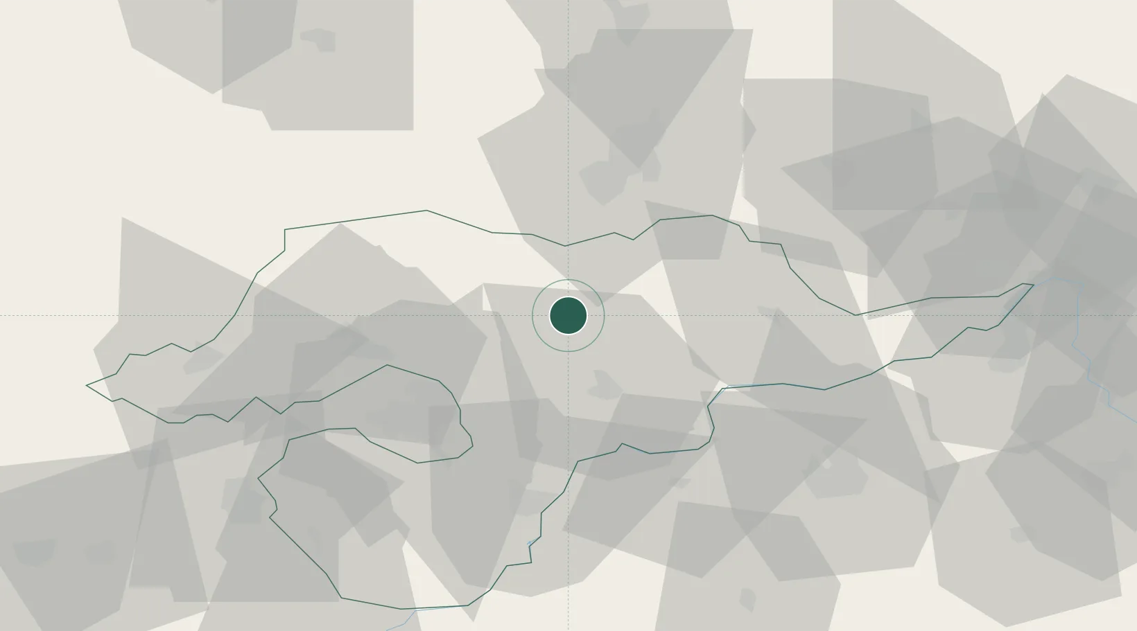
Location
Nearby Logistics Neighbours
Cities
- 1Abaújszántó8 km
- 2Erdobenye20 km
- 3Hidasnémeti20 km
- 4Buzica23 km
- 5Mezozombor23 km
Ports
- 1Senj603 km
- 2Bakar604 km
- 3Rijeka Luka608 km
- 4Omisalj608 km
- 5Braila625 km
Airports
Trade Zones
DatabookThe Record of Consolidated Knowledge
Hungary beyond logistics?