UN/LOCODE hub · Greece
GRPEB

Petani Beach

38.2667°, 20.3667°
1
Transport functions

Transport Functions

Port
UN/LOCODE

Hub Profile

Region
23
GeoNames

Location

Location of GRPEB
Natural Earth 10m (public domain) · 23 · GRPEB · 38.27, 20.37GoogleOSMYandex

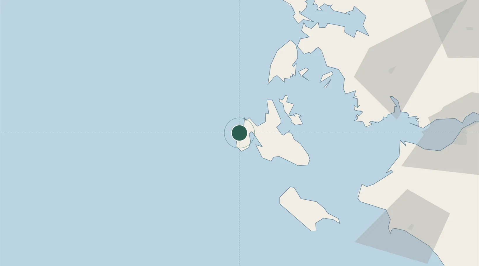
Nearby Logistics Neighbours

Cities
  1. 1Lixuri9 km
  2. 2Argostólion14 km
  3. 3Myrtos Beach17 km
  4. 4Assos20 km
  5. 5Agia Efimia21 km
Nearest neighbours — logibook spatial index (haversine) over the source coordinates
Ports
  1. 1Argostolion16 km
  2. 2Astakos68 km
  3. 3Preveza83 km
  4. 4Mesolongion92 km
  5. 5Katakolon108 km
Nearest neighbours — logibook spatial index (haversine) over the source coordinates
Airports
  1. 1Kefallinia Airport20 km
  2. 2Zakynthos International Airport Dionysios Solomos73 km
  3. 3Aktion National Airport81 km
  4. 4Andravida Air Base90 km
  5. 5Patras Araxos Agamemnon Airport93 km
Nearest neighbours — logibook spatial index (haversine) over the source coordinates
Trade Zones
  1. 1Free Zone of Platigiali (Astakos Etoloakarnanias)68 km
  2. 2Gjirokastër Freezone201 km
  3. 3Përmet Freezone220 km
  4. 4Vlora Technical and Economic Development Area259 km
  5. 5Korçë Freezone266 km
Nearest neighbours — logibook spatial index (haversine) over the source coordinates
DatabookThe Record of Consolidated Knowledge
Greece beyond logistics?
Browse databook

All Sources

LocationsUN/LOCODE
UN/LOCODE — free
Portsthe NGA World Port Index
Public domain (US gov)
AirportsOurAirports
Public domain
Trade Zonesthe World Bank SEZ database
CC BY 4.0
Trade ZonesOpen Zone Map
CC BY
← Greece locations