Transport Functions
Multimodal
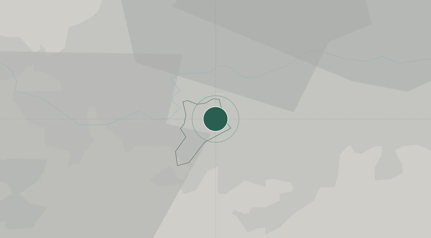
Hub Profile
Region
SRY
Location
Nearby Logistics Neighbours
Cities
- 1New Malden2 km
- 2Nutfield2 km
- 3Wimbledon4 km
- 4Putney6 km
- 5Kew8 km
Ports
- 1London16 km
- 2Tilbury41 km
- 3Gravesend43 km
- 4Chatham Docks56 km
- 5Shoreham Harbour65 km
Airports
- 1London Heathrow Airport17 km
- 2RAF Northolt21 km
- 3London Biggin Hill Airport21 km
- 4London City Airport24 km
- 5London Gatwick Airport28 km
DatabookThe Record of Consolidated Knowledge
United Kingdom beyond logistics?