UN/LOCODE hub · France
FRZI2

Saint-Bauzille-de-la-Sylve
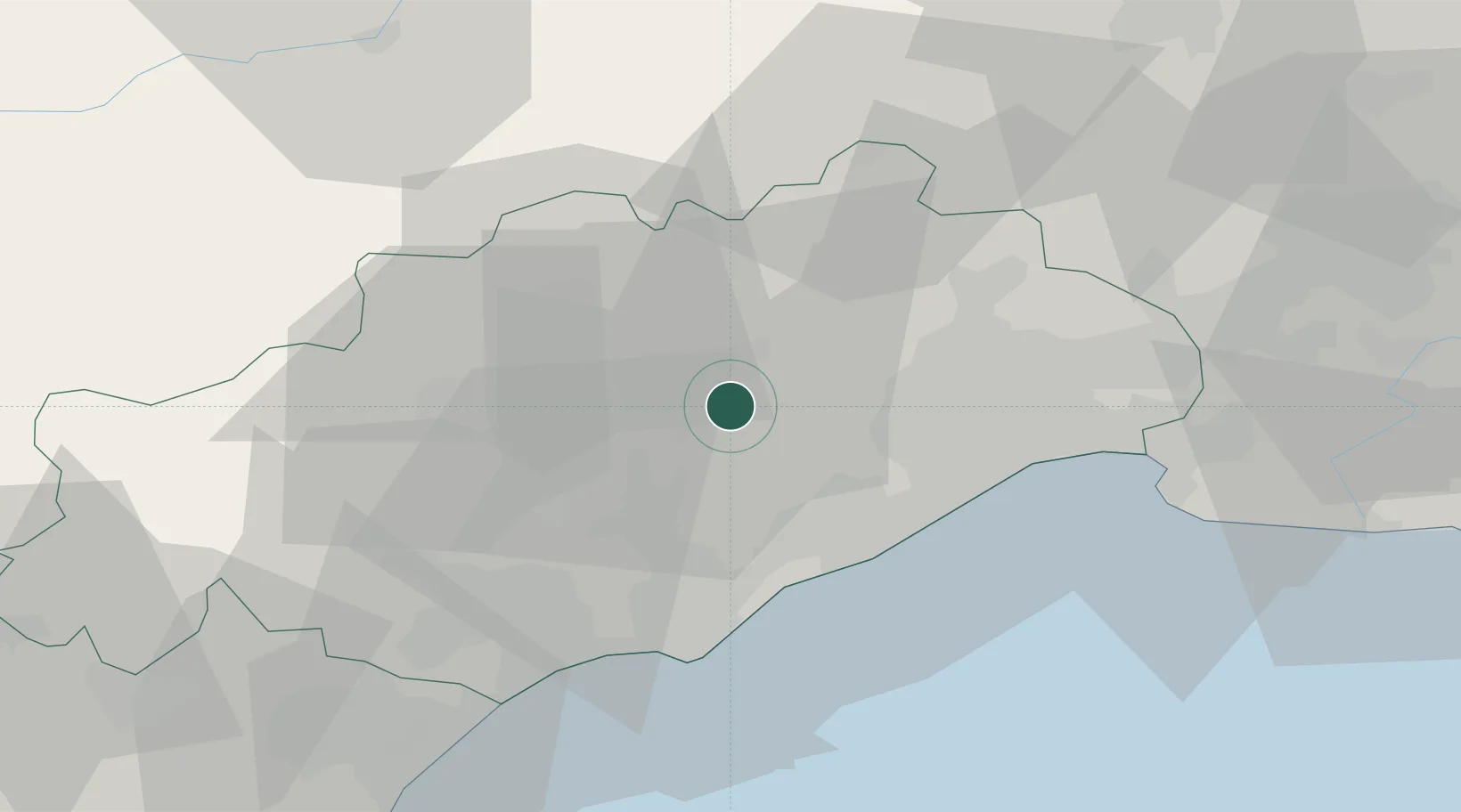
43.6167°, 3.5500°
822
Population
1
Transport functions

Transport Functions

Multimodal
UN/LOCODE

Hub Profile

Place type
Populated place
GeoNames
Region
Occitanie
GeoNames
Population
822
GeoNames
Time zone
Europe/Paris
GeoNames
Elevation
94 m
GeoNames

Location

Location of FRZI2
Natural Earth 10m (public domain) · Occitanie · FRZI2 · 43.62, 3.55GoogleOSMYandex

Nearby Logistics Neighbours

Cities
  1. 1Popian1 km
  2. 2Aumelas3 km
  3. 3Le Pouget5 km
  4. 4Saint-André-de-Sangonis6 km
  5. 5Lagamas6 km
Nearest neighbours — logibook spatial index (haversine) over the source coordinates
Ports
  1. 1Sete27 km
  2. 2Port-La-Nouvelle77 km
  3. 3Port Saint Louis Du Rhone105 km
  4. 4Fos110 km
  5. 5Port-de-Bouc118 km
Nearest neighbours — logibook spatial index (haversine) over the source coordinates
Airports
  1. 1Montpellier-Méditerranée Airport34 km
  2. 2Béziers Vias airport36 km
  3. 3Aérodrome d'Alès Cévennes69 km
  4. 4Nîmes-Arles-Camargue Airport71 km
  5. 5Mende-Brenoux Airfield99 km
Nearest neighbours — logibook spatial index (haversine) over the source coordinates
Trade Zones
  1. 1ZFU Montpellier24 km
  2. 2ZFU Béziers41 km
  3. 3ZFU Nîmes68 km
  4. 4ZFU Avignon107 km
  5. 5ZFU Perpignan115 km
Nearest neighbours — logibook spatial index (haversine) over the source coordinates
DatabookThe Record of Consolidated Knowledge
France beyond logistics?
Browse databook

All Sources

LocationsUN/LOCODE
UN/LOCODE — free
LocationsGeoNames
CC BY 4.0
Portsthe NGA World Port Index
Public domain (US gov)
AirportsOurAirports
Public domain
Trade Zonesthe World Bank SEZ database
CC BY 4.0
Trade ZonesOpen Zone Map
CC BY
← France locations