Transport Functions
Road
Multimodal
Hub Profile
Place type
Populated place
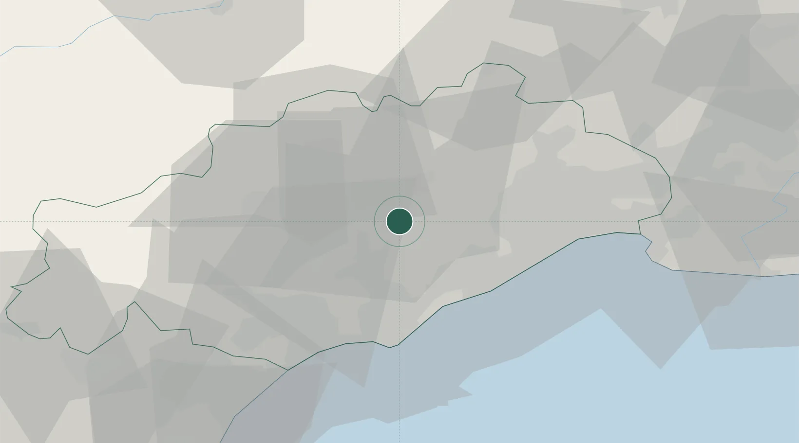
Region
Occitanie
Population
1,521
Time zone
Europe/Paris
Elevation
112 m
Location
Nearby Logistics Neighbours
Cities
- 1Puilacher2 km
- 2Popian4 km
- 3Plaissan4 km
- 4Saint-Bauzille-de-la-Sylve5 km
- 5Aumelas6 km
Ports
- 1Sete25 km
- 2Port-La-Nouvelle73 km
- 3Port Saint Louis Du Rhone107 km
- 4Fos112 km
- 5Port-de-Bouc120 km
Airports
Trade Zones
- 1ZFU Montpellier27 km
- 2ZFU Béziers37 km
- 3ZFU Nîmes72 km
- 4ZFU Perpignan111 km
- 5ZFU Avignon111 km
DatabookThe Record of Consolidated Knowledge
France beyond logistics?