Transport Functions
Multimodal
Hub Profile
Place type
Populated place
Region
Occitanie
Time zone
Europe/Paris
Elevation
180 m
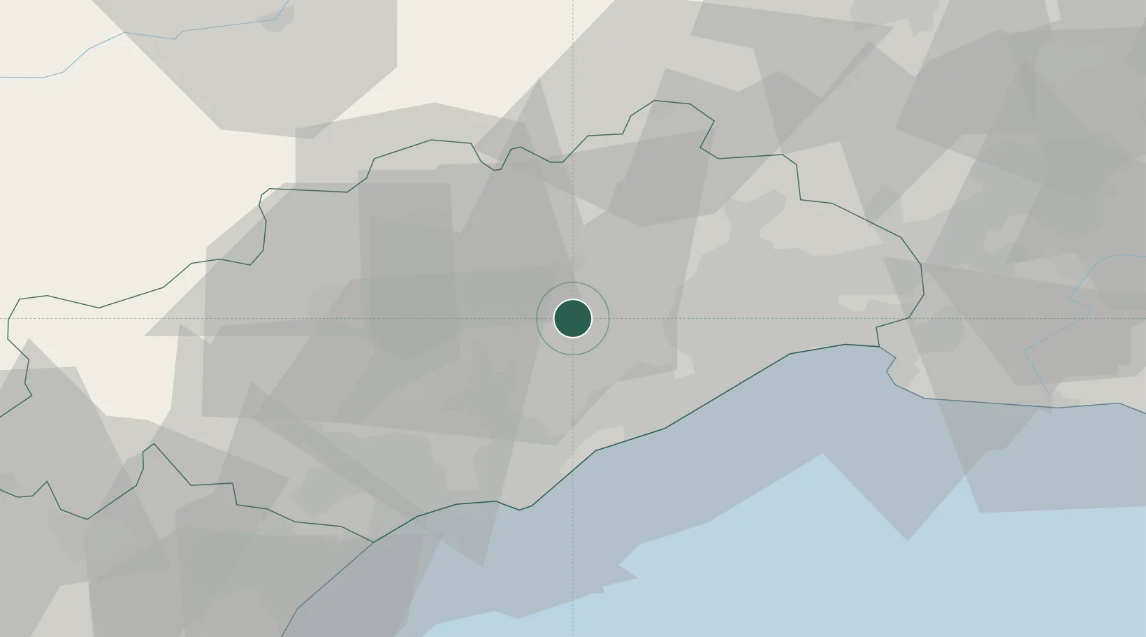
Location
Nearby Logistics Neighbours
Cities
- 1Saint-Bauzille-de-la-Sylve3 km
- 2Popian4 km
- 3Le Pouget6 km
- 4Plaissan7 km
- 5Puilacher8 km
Ports
- 1Sete24 km
- 2Port-La-Nouvelle77 km
- 3Port Saint Louis Du Rhone102 km
- 4Fos107 km
- 5Port-de-Bouc115 km
Airports
Trade Zones
- 1ZFU Montpellier21 km
- 2ZFU Béziers42 km
- 3ZFU Nîmes66 km
- 4ZFU Avignon105 km
- 5ZFU Perpignan115 km
DatabookThe Record of Consolidated Knowledge
France beyond logistics?