Transport Functions
Multimodal
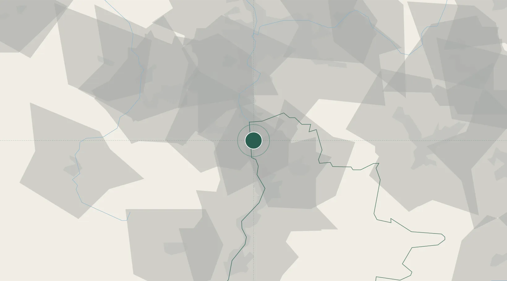
Hub Profile
Place type
Populated place
Region
Rhône-Alpes
Population
937
Time zone
Europe/Paris
Elevation
157 m
Location
Nearby Logistics Neighbours
Cities
- 1Sarras3 km
- 2Saint-Vallier4 km
- 3Andancette5 km
- 4Saint-Désirat7 km
- 5Arras-sur-Rhône8 km
Ports
- 1Fos198 km
- 2Port-de-Bouc201 km
- 3Port Saint Louis Du Rhone202 km
- 4Marseille214 km
- 5Sete220 km
Airports
Trade Zones
- 1ZFU Valence31 km
- 2ZFU Saint-Etienne49 km
- 3ZFU Vénissieux55 km
- 4ZFU Lyon 9e64 km
- 5ZFU Vaulx-en-Velin65 km
DatabookThe Record of Consolidated Knowledge
France beyond logistics?