UN/LOCODE hub · France
FRVV9
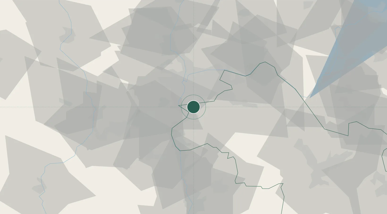
Villette-de-Vienne
45.5833°, 4.9000°
1,263
Population
1
Transport functions
Transport Functions
Multimodal
Hub Profile
Place type
Populated place
Region
Rhône-Alpes
Population
1,263
Time zone
Europe/Paris
Elevation
231 m
Location
Nearby Logistics Neighbours
Ports
- 1Fos241 km
- 2Port-de-Bouc243 km
- 3Port Saint Louis Du Rhone245 km
- 4Marseille255 km
- 5Sete261 km
Airports
Trade Zones
- 1ZFU Vénissieux13 km
- 2ZFU Vaulx-en-Velin22 km
- 3ZFU Lyon 9e22 km
- 4ZFU Rillieux-la-Pape27 km
- 5ZFU Saint-Etienne50 km
DatabookThe Record of Consolidated Knowledge
France beyond logistics?