Transport Functions
Multimodal
Hub Profile
Place type
Populated place
Region
Rhône-Alpes
Population
1,110
Time zone
Europe/Paris
Elevation
464 m
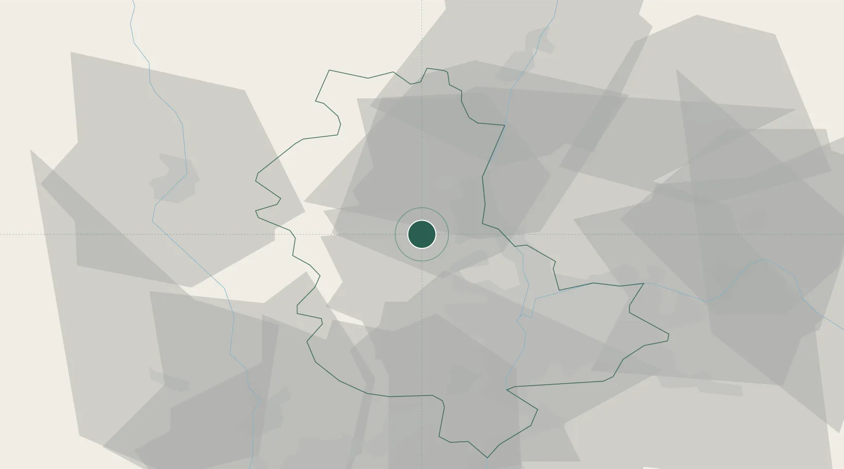
Location
Nearby Logistics Neighbours
Cities
- 1Ville-sur-Jarnioux2 km
- 2Oingt3 km
- 3Jarnioux4 km
- 4Saint-Laurent-d'Oingt4 km
- 5Pommiers6 km
Ports
- 1Fos281 km
- 2Port-de-Bouc283 km
- 3Port Saint Louis Du Rhone284 km
- 4Sete291 km
- 5Marseille297 km
Airports
- 1Lyon Bron Airport34 km
- 2Mâcon-Charnay Airfield43 km
- 3Lyon Saint-Exupéry Airport43 km
- 4Roanne-Renaison Airport50 km
- 5Saint-Étienne-Bouthéon Airport50 km
Trade Zones
- 1ZFU Rillieux-la-Pape22 km
- 2ZFU Lyon 9e23 km
- 3ZFU Vaulx-en-Velin29 km
- 4ZFU Vénissieux32 km
- 5ZFU Saint-Etienne62 km
DatabookThe Record of Consolidated Knowledge
France beyond logistics?