Transport Functions
Multimodal
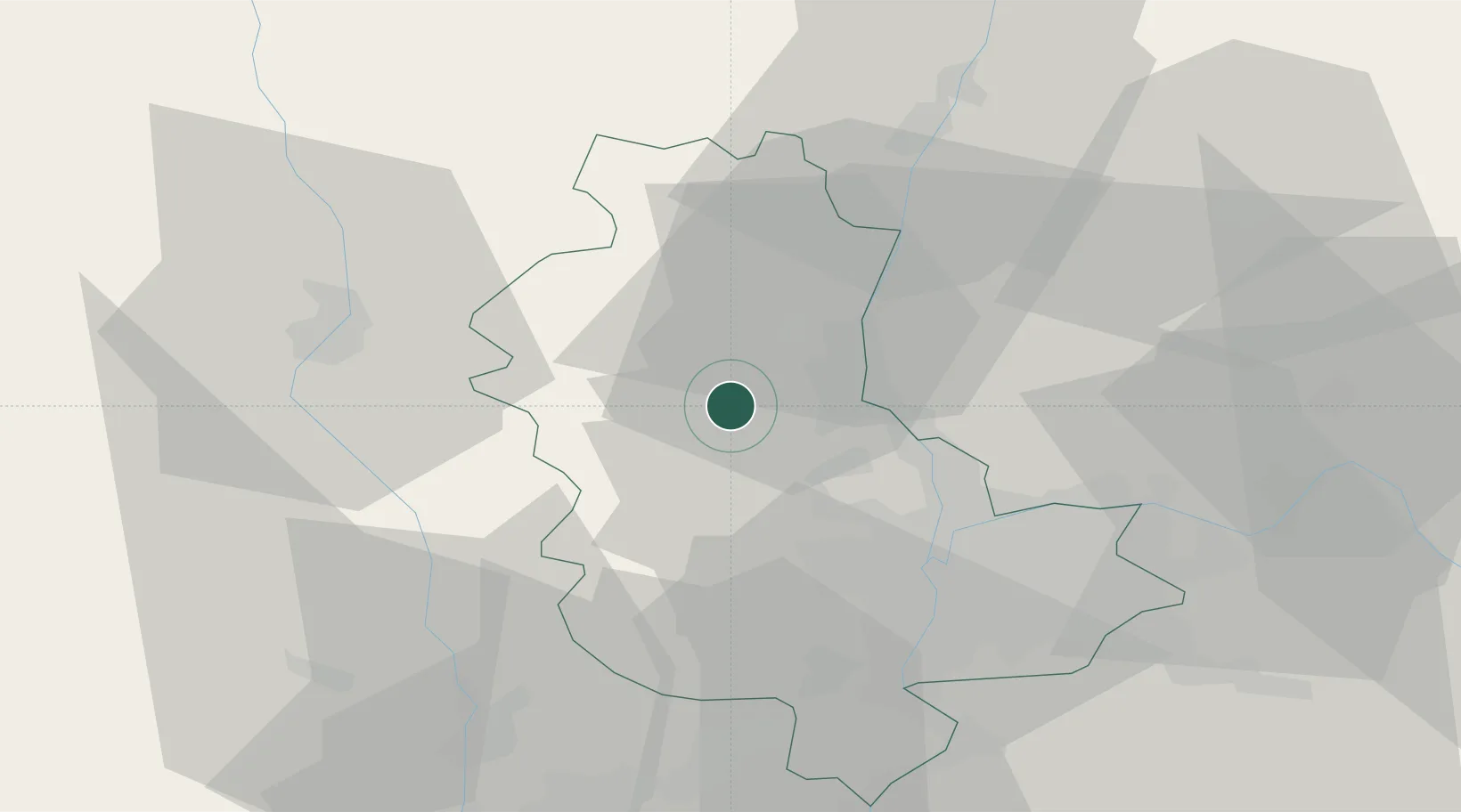
Hub Profile
Place type
Populated place
Region
Rhône-Alpes
Population
557
Time zone
Europe/Paris
Elevation
527 m
Location
Nearby Logistics Neighbours
Cities
- 1Saint-Laurent-d'Oingt1 km
- 2Ville-sur-Jarnioux1 km
- 3Theizé3 km
- 4Létra4 km
- 5Jarnioux4 km
Ports
- 1Fos283 km
- 2Port-de-Bouc285 km
- 3Port Saint Louis Du Rhone286 km
- 4Sete292 km
- 5Marseille299 km
Airports
- 1Lyon Bron Airport37 km
- 2Mâcon-Charnay Airfield42 km
- 3Lyon Saint-Exupéry Airport47 km
- 4Roanne-Renaison Airport47 km
- 5Saint-Étienne-Bouthéon Airport51 km
Trade Zones
- 1ZFU Rillieux-la-Pape25 km
- 2ZFU Lyon 9e26 km
- 3ZFU Vaulx-en-Velin32 km
- 4ZFU Vénissieux35 km
- 5ZFU Saint-Etienne63 km
DatabookThe Record of Consolidated Knowledge
France beyond logistics?