UN/LOCODE hub · France
FRNTJ
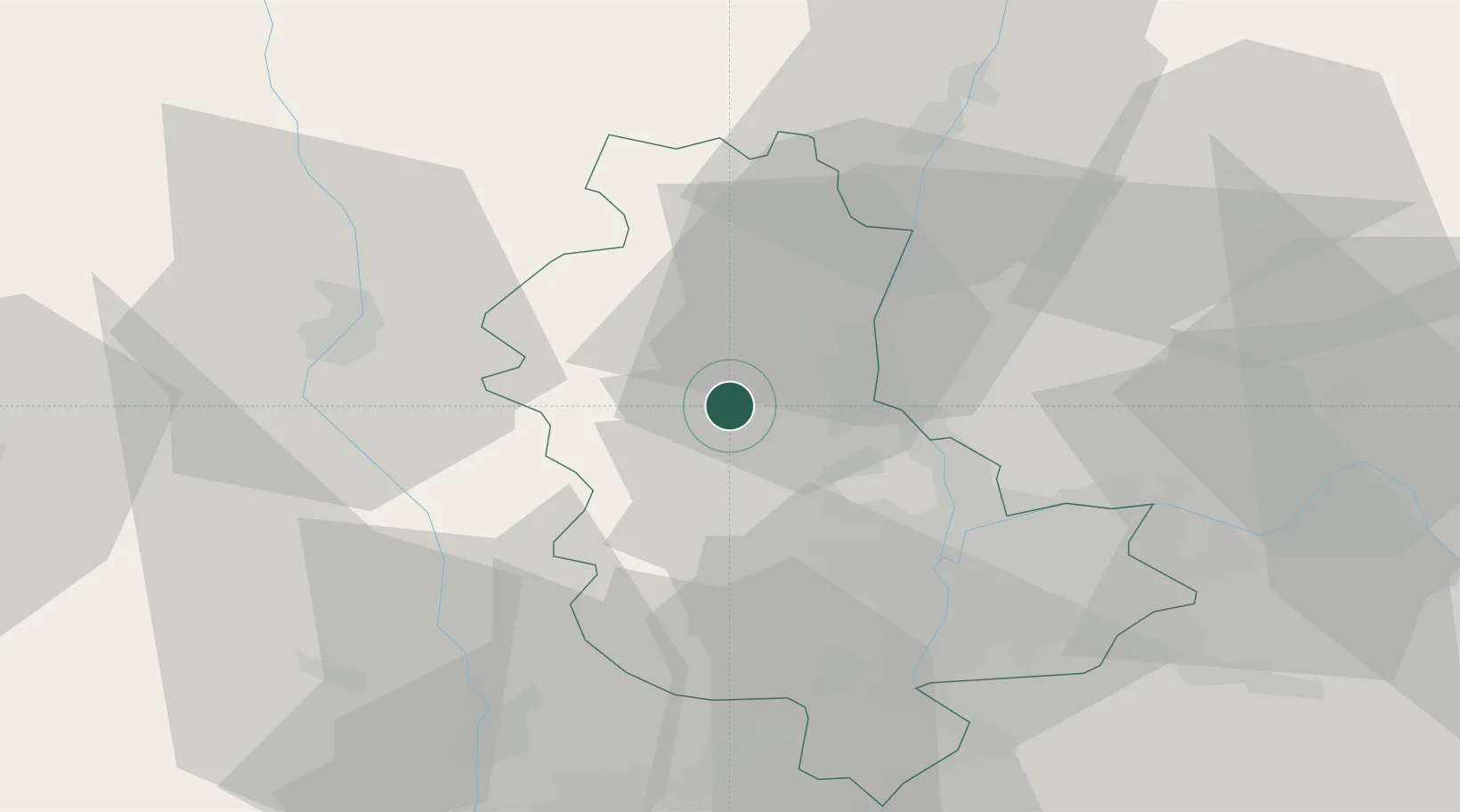
Saint-Laurent-d'Oingt
45.9500°, 4.5667°
773
Population
1
Transport functions
Transport Functions
Multimodal
Hub Profile
Place type
Populated place
Region
Rhône-Alpes
Population
773
Time zone
Europe/Paris
Elevation
405 m
Location
Nearby Logistics Neighbours
Cities
- 1Oingt1 km
- 2Ville-sur-Jarnioux3 km
- 3Létra3 km
- 4Ternand3 km
- 5Theizé4 km
Ports
- 1Fos283 km
- 2Port-de-Bouc286 km
- 3Port Saint Louis Du Rhone286 km
- 4Sete292 km
- 5Marseille300 km
Airports
- 1Lyon Bron Airport38 km
- 2Mâcon-Charnay Airfield42 km
- 3Roanne-Renaison Airport45 km
- 4Lyon Saint-Exupéry Airport48 km
- 5Saint-Étienne-Bouthéon Airport50 km
Trade Zones
- 1ZFU Rillieux-la-Pape27 km
- 2ZFU Lyon 9e27 km
- 3ZFU Vaulx-en-Velin33 km
- 4ZFU Vénissieux36 km
- 5ZFU Saint-Etienne62 km
DatabookThe Record of Consolidated Knowledge
France beyond logistics?