Transport Functions
Multimodal
Hub Profile
Place type
Populated place
Region
Rhône-Alpes
Population
580
Time zone
Europe/Paris
Elevation
302 m
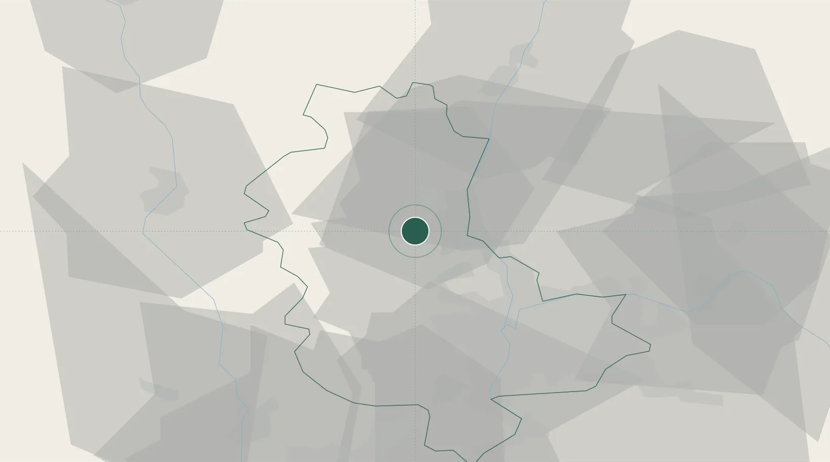
Location
Nearby Logistics Neighbours
Cities
- 1Ville-sur-Jarnioux3 km
- 2Denicé4 km
- 3Theizé4 km
- 4Pommiers4 km
- 5Oingt4 km
Ports
- 1Fos284 km
- 2Port-de-Bouc287 km
- 3Port Saint Louis Du Rhone288 km
- 4Sete295 km
- 5Marseille300 km
Airports
- 1Lyon Bron Airport36 km
- 2Mâcon-Charnay Airfield39 km
- 3Lyon Saint-Exupéry Airport44 km
- 4Roanne-Renaison Airport50 km
- 5Ambérieu Air Base (BA 278)54 km
Trade Zones
- 1ZFU Rillieux-la-Pape23 km
- 2ZFU Lyon 9e25 km
- 3ZFU Vaulx-en-Velin30 km
- 4ZFU Vénissieux34 km
- 5ZFU Saint-Etienne66 km
DatabookThe Record of Consolidated Knowledge
France beyond logistics?