UN/LOCODE hub · France
FRBT4

Blanot

46.4667°, 4.7333°
147
Population
1
Transport functions

Transport Functions

Multimodal
UN/LOCODE

Hub Profile

Place type
Populated place
GeoNames
Region
Bourgogne
GeoNames
Population
147
GeoNames
Time zone
Europe/Paris
GeoNames
Elevation
356 m
GeoNames

Location

Location of FRBT4
Natural Earth 10m (public domain) · Bourgogne · FRBT4 · 46.47, 4.73GoogleOSMYandex

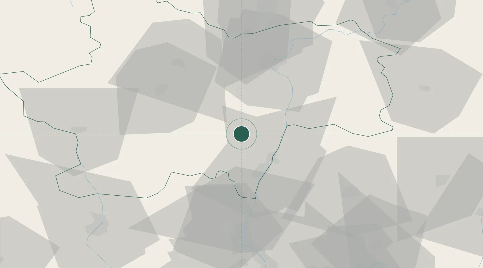
Nearby Logistics Neighbours

Cities
  1. 1Donzy-le-Pertuis2 km
  2. 2Azé5 km
  3. 3Massilly5 km
  4. 4Cruzille6 km
  5. 5Péronne7 km
Nearest neighbours — logibook spatial index (haversine) over the source coordinates
Ports
  1. 1Fos339 km
  2. 2Port-de-Bouc342 km
  3. 3Port Saint Louis Du Rhone343 km
  4. 4Sete351 km
  5. 5Marseille354 km
Nearest neighbours — logibook spatial index (haversine) over the source coordinates
Airports
  1. 1Mâcon-Charnay Airfield20 km
  2. 2Saint-Yan Airport55 km
  3. 3Ambérieu Air Base (BA 278)70 km
  4. 4Roanne-Renaison Airport73 km
  5. 5Dole Tavaux Airport83 km
Nearest neighbours — logibook spatial index (haversine) over the source coordinates
Trade Zones
  1. 1ZFU Rillieux-la-Pape72 km
  2. 2ZFU Lyon 9e77 km
  3. 3ZFU Vaulx-en-Velin78 km
  4. 4ZFU Vénissieux86 km
  5. 5ZFU Chenôve94 km
Nearest neighbours — logibook spatial index (haversine) over the source coordinates
DatabookThe Record of Consolidated Knowledge
France beyond logistics?
Browse databook

All Sources

LocationsUN/LOCODE
UN/LOCODE — free
LocationsGeoNames
CC BY 4.0
Portsthe NGA World Port Index
Public domain (US gov)
AirportsOurAirports
Public domain
Trade Zonesthe World Bank SEZ database
CC BY 4.0
Trade ZonesOpen Zone Map
CC BY
← France locations