UN/LOCODE hub · France
FRXGM
Sampigny-lès-Maranges
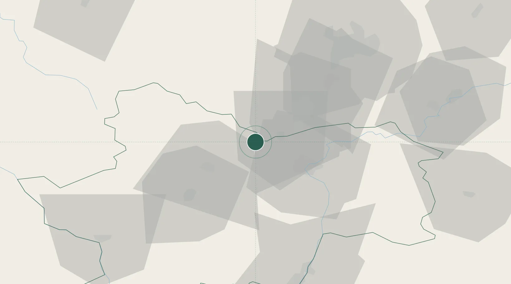
46.9000°, 4.6500°
156
Population
1
Transport functions
Transport Functions
Multimodal
Hub Profile
Place type
Populated place
Region
Bourgogne
Population
156
Time zone
Europe/Paris
Elevation
240 m
Location
Nearby Logistics Neighbours
Cities
- 1Dezize-lès-Maranges2 km
- 2Paris-l'Hôpital2 km
- 3Saint-Gilles2 km
- 4Change4 km
- 5Chassey-le-Camp4 km
Ports
- 1Fos388 km
- 2Port Of Rouen389 km
- 3Port-de-Bouc390 km
- 4Port Saint Louis Du Rhone391 km
- 5Sete396 km
Airports
- 1Dijon Longvic airport53 km
- 2Dole Tavaux Airport61 km
- 3Mâcon-Charnay Airfield68 km
- 4Saint-Yan Airport73 km
- 5Roanne-Renaison Airport107 km
Trade Zones
- 1ZFU Chenôve50 km
- 2ZFU Besancon110 km
- 3ZFU Rillieux-la-Pape120 km
- 4ZFU Lyon 9e126 km
- 5ZFU Vaulx-en-Velin126 km
DatabookThe Record of Consolidated Knowledge
France beyond logistics?