Transport Functions
Multimodal
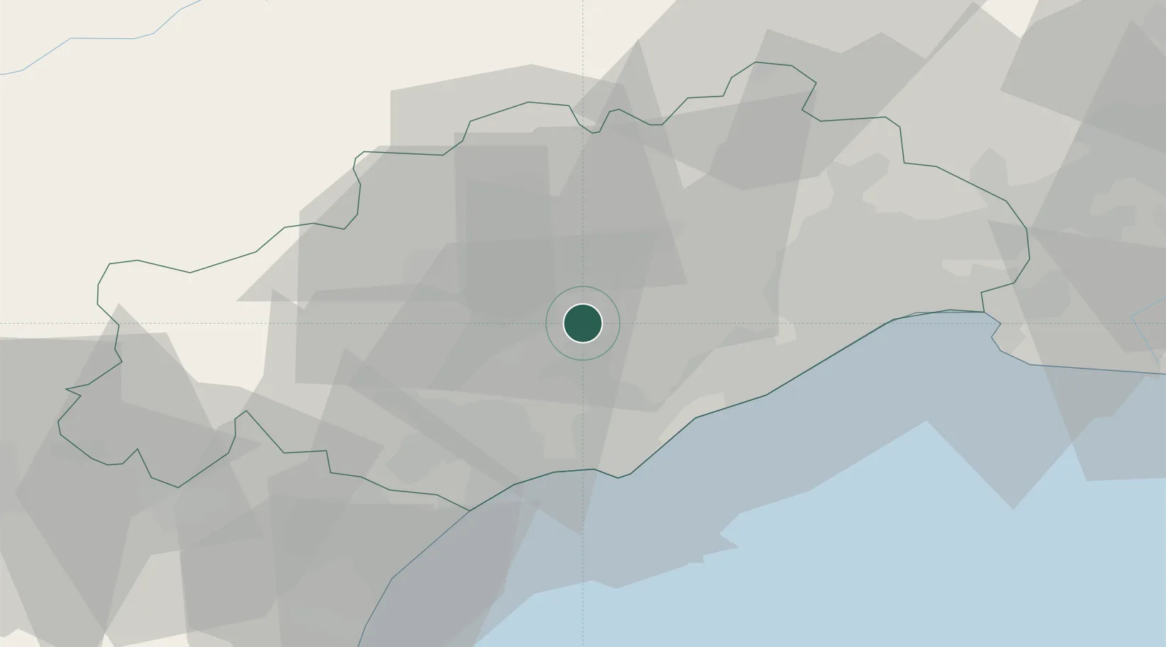
Hub Profile
Place type
Populated place
Region
Occitanie
Population
826
Time zone
Europe/Paris
Elevation
72 m
Location
Nearby Logistics Neighbours
Cities
- 1Nizas2 km
- 2Lézignan-la-Cèbe4 km
- 3Fontes5 km
- 4Puilacher7 km
- 5Caux7 km
Ports
- 1Sete26 km
- 2Port-La-Nouvelle65 km
- 3Port Saint Louis Du Rhone113 km
- 4Port-Vendres116 km
- 5Fos118 km
Airports
Trade Zones
- 1ZFU Béziers28 km
- 2ZFU Montpellier34 km
- 3ZFU Nîmes80 km
- 4ZFU Perpignan103 km
- 5ZFU Avignon119 km
DatabookThe Record of Consolidated Knowledge
France beyond logistics?