Transport Functions
Multimodal
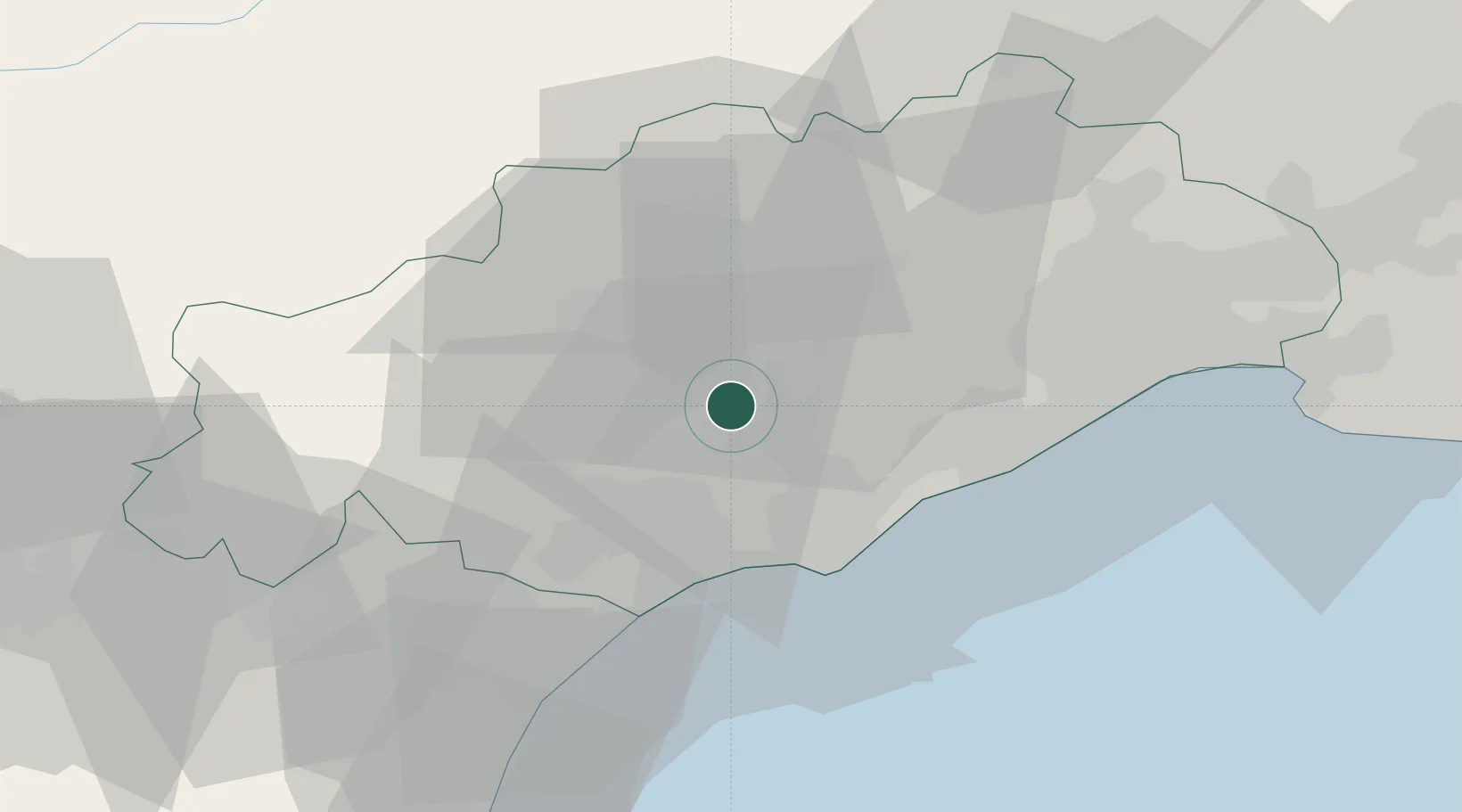
Hub Profile
Place type
Populated place
Region
Occitanie
Population
2,210
Time zone
Europe/Paris
Elevation
106 m
Location
Nearby Logistics Neighbours
Cities
- 1Fontes4 km
- 2Nizas4 km
- 3Margon4 km
- 4Neffiès5 km
- 5Lézignan-la-Cèbe5 km
Ports
- 1Sete29 km
- 2Port-La-Nouvelle59 km
- 3Port-Vendres111 km
- 4Port Saint Louis Du Rhone118 km
- 5Fos123 km
Airports
Trade Zones
- 1ZFU Béziers22 km
- 2ZFU Montpellier40 km
- 3ZFU Nîmes87 km
- 4ZFU Perpignan97 km
- 5ZFU Avignon126 km
DatabookThe Record of Consolidated Knowledge
France beyond logistics?