UN/LOCODE hub · Switzerland
CHCBS
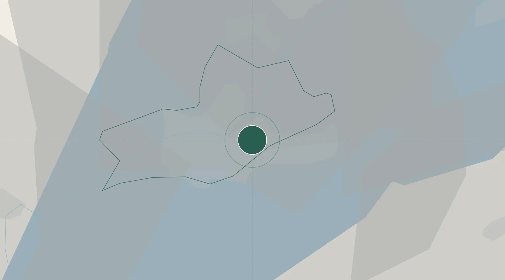
Chene-Bougeries
46.2000°, 6.1667°
10,487
Population
1
Transport functions
Transport Functions
Multimodal
Hub Profile
Place type
Populated place
Region
Geneva
Population
10,487
Time zone
Europe/Zurich
Elevation
423 m
Location
Nearby Logistics Neighbours
Cities
- 1Petit-Lancy3 km
- 2Carouge3 km
- 3Lancy3 km
- 4Les Acacias3 km
- 5Châtelaine4 km
Ports
- 1Savona278 km
- 2Rada Di Vado280 km
- 3Monaco291 km
- 4Nice292 km
- 5Villefranche292 km
Airports
DatabookThe Record of Consolidated Knowledge
Switzerland beyond logistics?