Transport Functions
Port
Multimodal
Hub Profile
Place type
Populated place
Region
Rhône-Alpes
Population
4,110
Time zone
Europe/Paris
Elevation
226 m
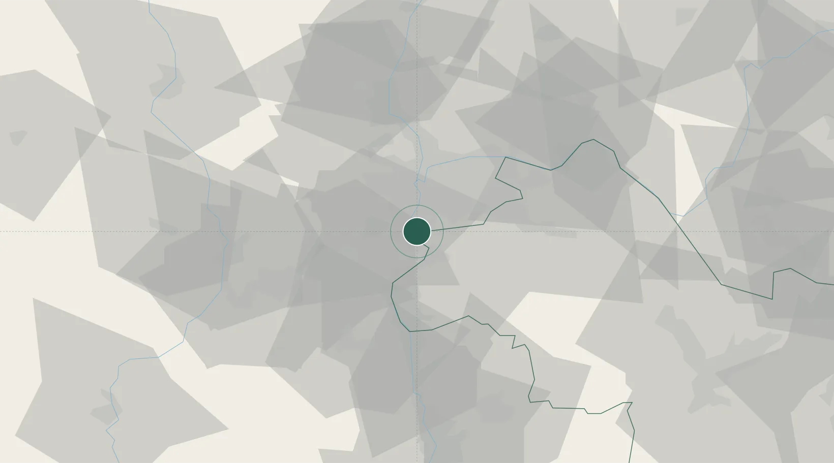
Location
Nearby Logistics Neighbours
Cities
- 1Ternay2 km
- 2Seyssuel4 km
- 3Givors4 km
- 4Villette-de-Vienne6 km
- 5Vernaison6 km
Ports
- 1Fos243 km
- 2Port-de-Bouc245 km
- 3Port Saint Louis Du Rhone247 km
- 4Marseille257 km
- 5Sete261 km
Airports
Trade Zones
- 1ZFU Vénissieux11 km
- 2ZFU Lyon 9e20 km
- 3ZFU Vaulx-en-Velin21 km
- 4ZFU Rillieux-la-Pape25 km
- 5ZFU Saint-Etienne46 km
DatabookThe Record of Consolidated Knowledge
France beyond logistics?