Transport Functions
Rail
Hub Profile
Region
69
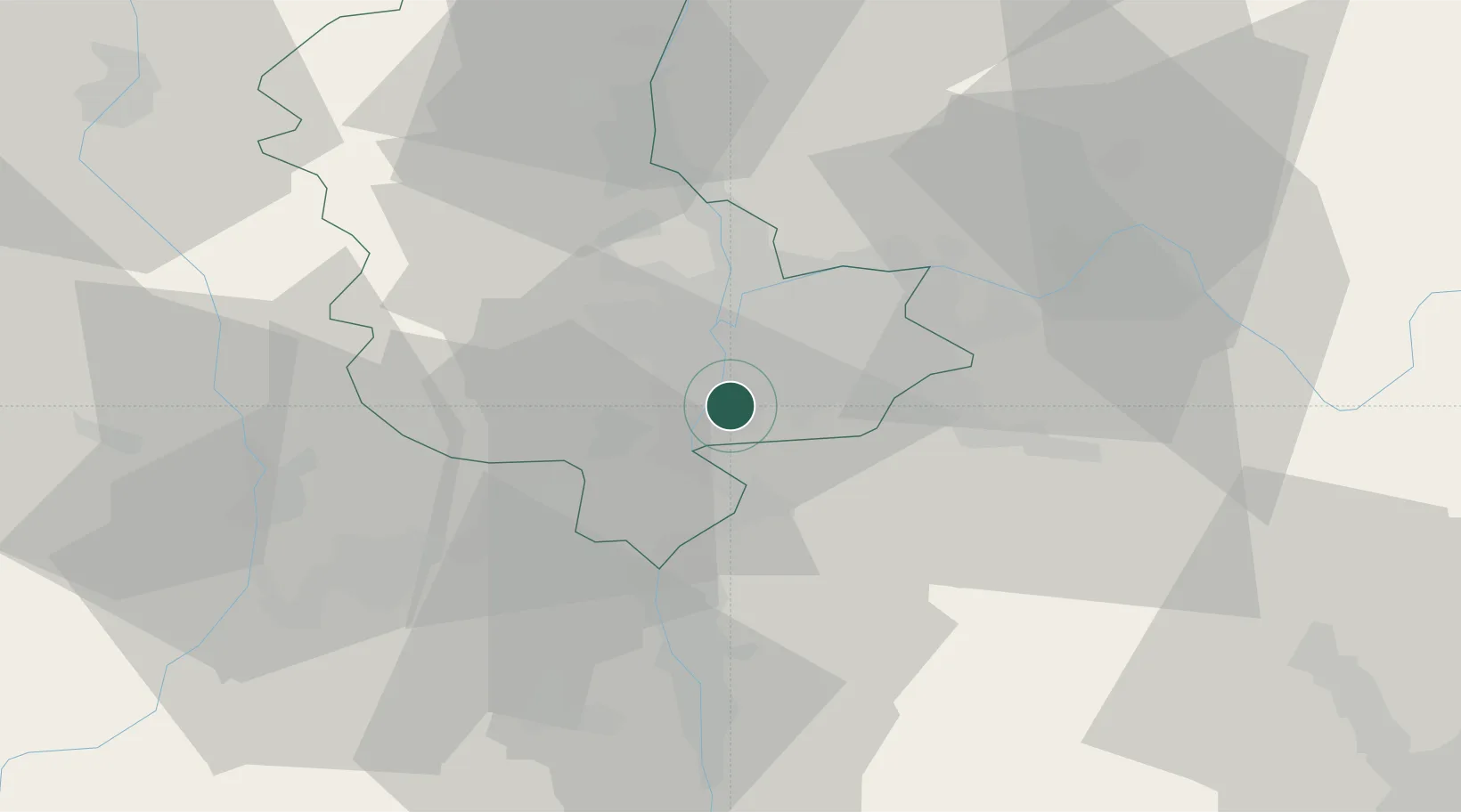
Location
Nearby Logistics Neighbours
Ports
- 1Fos248 km
- 2Port-de-Bouc250 km
- 3Port Saint Louis Du Rhone252 km
- 4Marseille263 km
- 5Sete266 km
Airports
Trade Zones
- 1ZFU Vénissieux5 km
- 2ZFU Lyon 9e14 km
- 3ZFU Vaulx-en-Velin16 km
- 4ZFU Rillieux-la-Pape20 km
- 5ZFU Saint-Etienne50 km
DatabookThe Record of Consolidated Knowledge
France beyond logistics?