UN/LOCODE hub · France
FRV33

Villeneuve-de-Blaye

45.0833°, -0.6167°
2
Transport functions

Transport Functions

Port
Multimodal
UN/LOCODE

Hub Profile

Region
33
GeoNames

Location

Location of FRV33
Natural Earth 10m (public domain) · 33 · FRV33 · 45.08, -0.62GoogleOSMYandex

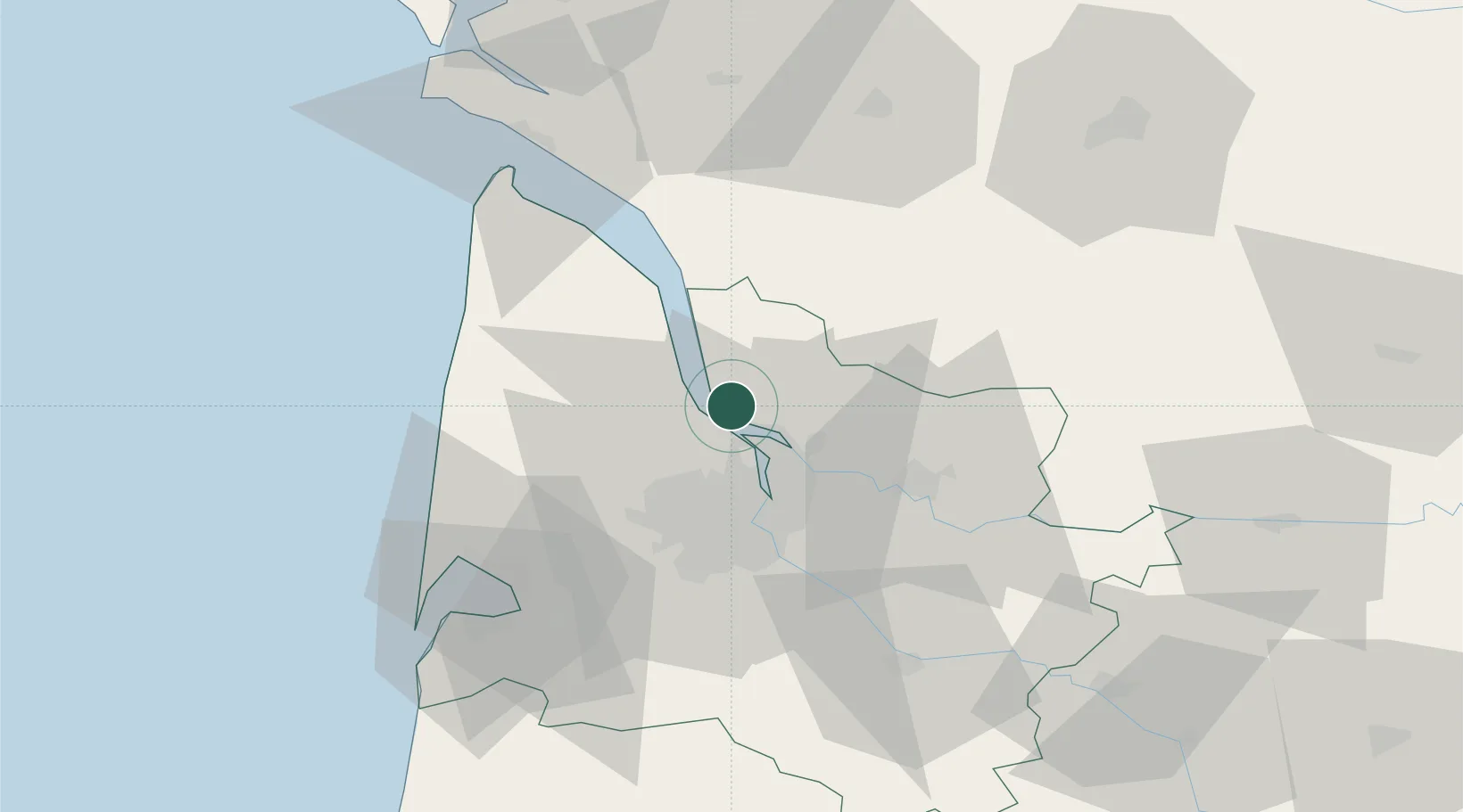
Nearby Logistics Neighbours

Cities
  1. 1Gauriac2 km
  2. 2Comps2 km
  3. 3Plassac3 km
  4. 4Bayon-sur-Gironde4 km
  5. 5Camillac5 km
Nearest neighbours — logibook spatial index (haversine) over the source coordinates
Ports
  1. 1Blaye7 km
  2. 2Ambes10 km
  3. 3Pauillac17 km
  4. 4Bordeaux24 km
  5. 5Le Verdon62 km
Nearest neighbours — logibook spatial index (haversine) over the source coordinates
Airports
  1. 1Bordeaux–Mérignac Airport29 km
  2. 2Royan-Médis Airport67 km
  3. 3Aérodrome d'Arcachon-La Teste-de-Buch67 km
  4. 4Cognac-Châteaubernard (BA 709) Air Base68 km
  5. 5Cazaux (BA 120) Air Base73 km
Nearest neighbours — logibook spatial index (haversine) over the source coordinates
Trade Zones
  1. 1Port de Bordeaux20 km
  2. 2ZFU Hauts de Garonne28 km
  3. 3ZFU La Rochelle129 km
  4. 4Depósito Franco de Pasajes (Guipúzcoa)222 km
  5. 5ZFU Toulouse232 km
Nearest neighbours — logibook spatial index (haversine) over the source coordinates
DatabookThe Record of Consolidated Knowledge
France beyond logistics?
Browse databook

All Sources

LocationsUN/LOCODE
UN/LOCODE — free
Portsthe NGA World Port Index
Public domain (US gov)
AirportsOurAirports
Public domain
Trade Zonesthe World Bank SEZ database
CC BY 4.0
Trade ZonesOpen Zone Map
CC BY
← France locations