Transport Functions
Road
Multimodal
Hub Profile
Place type
Populated place
Region
Bourgogne
Population
202
Time zone
Europe/Paris
Elevation
332 m
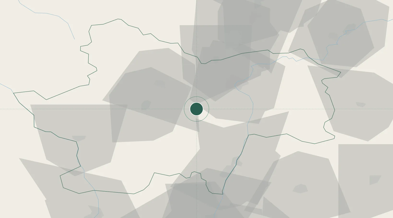
Location
Nearby Logistics Neighbours
Cities
- 1Saint-Vallerin4 km
- 2Saint-Privé7 km
- 3Sassangy8 km
- 4Marcilly-lès-Buxy8 km
- 5Bissey-sous-Cruchaud10 km
Ports
- 1Fos360 km
- 2Port-de-Bouc362 km
- 3Port Saint Louis Du Rhone364 km
- 4Sete369 km
- 5Marseille375 km
Airports
- 1Mâcon-Charnay Airfield41 km
- 2Saint-Yan Airport55 km
- 3Dole Tavaux Airport73 km
- 4Dijon Longvic airport77 km
- 5Roanne-Renaison Airport83 km
Trade Zones
- 1ZFU Chenôve76 km
- 2ZFU Rillieux-la-Pape93 km
- 3ZFU Lyon 9e98 km
- 4ZFU Vaulx-en-Velin99 km
- 5ZFU Vénissieux107 km
DatabookThe Record of Consolidated Knowledge
France beyond logistics?